Glory Hole Falls, Arkansas |
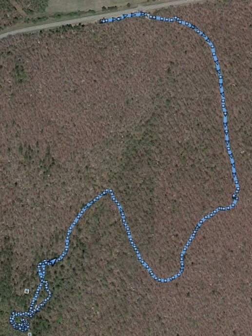
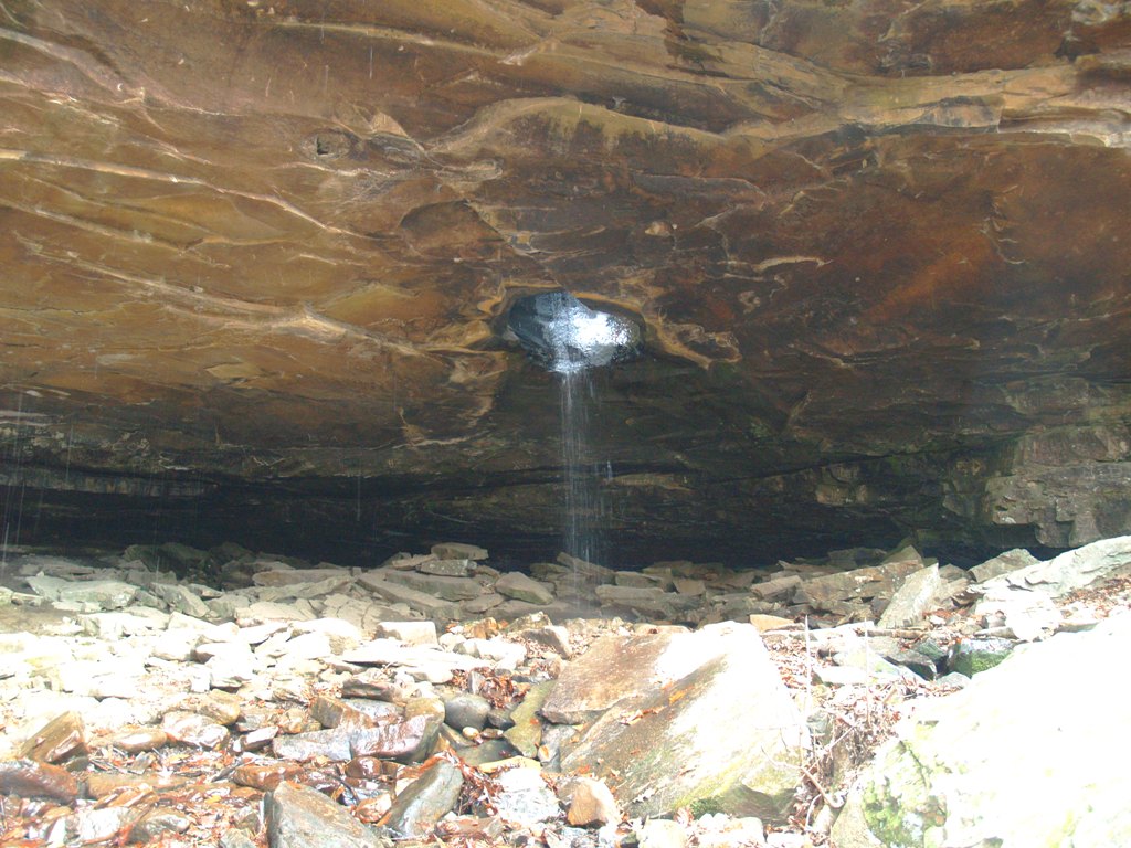
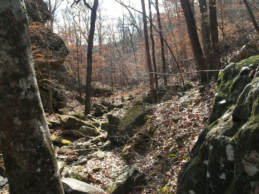
The blue path was taken with my GPS and imported into Google Earth. We started at the road and traveled down, the whole way to the waterfall. When we started, it was 30F and the wind was blowing but when we got into the canyon, the wind wasn't bad and we actually got kinda hot. The GPS said we went 2.1 miles but we wandered around the cave area where the falls were and the area around the top of the hole so the hike would have been a bit shorter than that. It took us about an hour to get down to the falls which according to the GPS was about a 420 ft drop from the trail head. On the way back up, we wandered up the creek until it intersected the trail. We really took our time and enjoyed the scenery.
|
 |
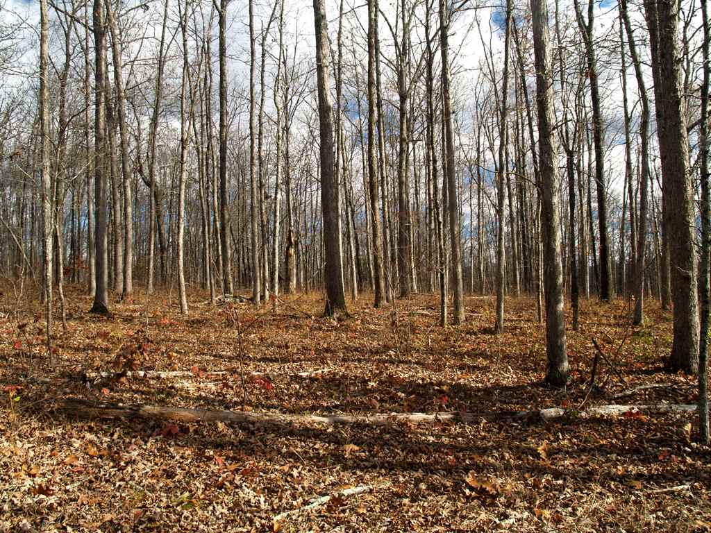
the day hadn't been so cloudy.
| Back to Karen's Picture page | Back to Karen's home page | Please mail me broken links-pics etc. |