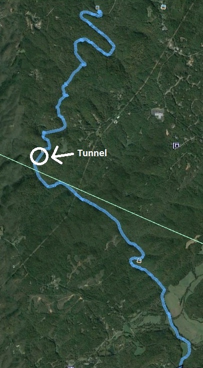
Kayaking the Etowah River
From Castleberry Bridge to the Hwy 136
near Dawsonville, GA
August 15, 2015


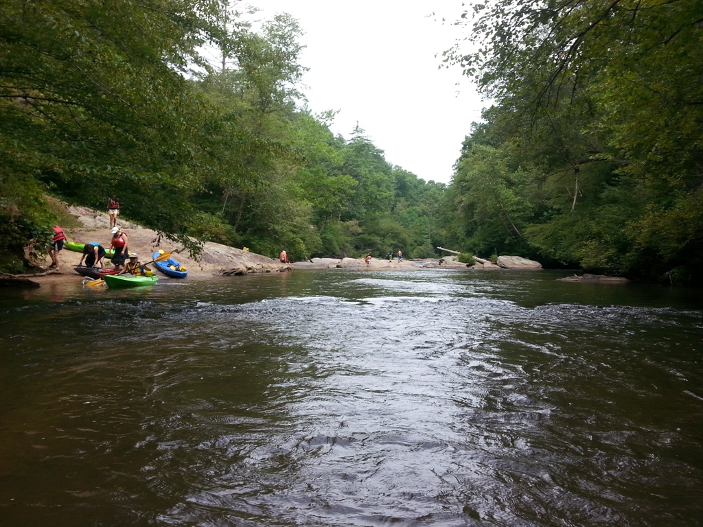
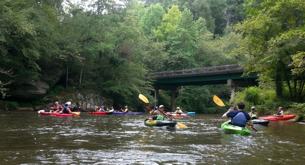
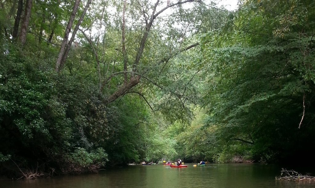
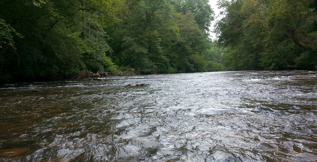
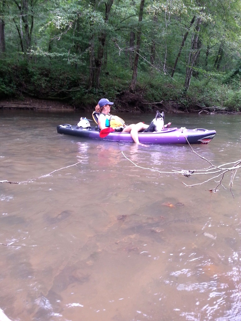
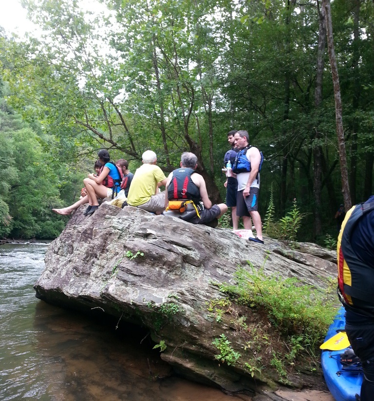
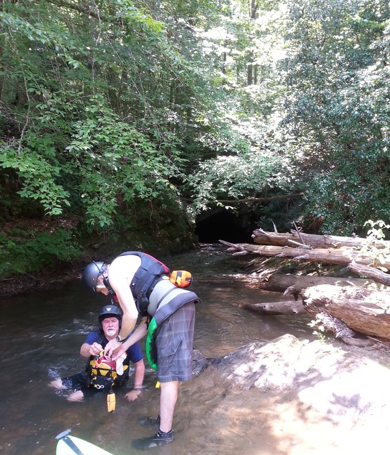
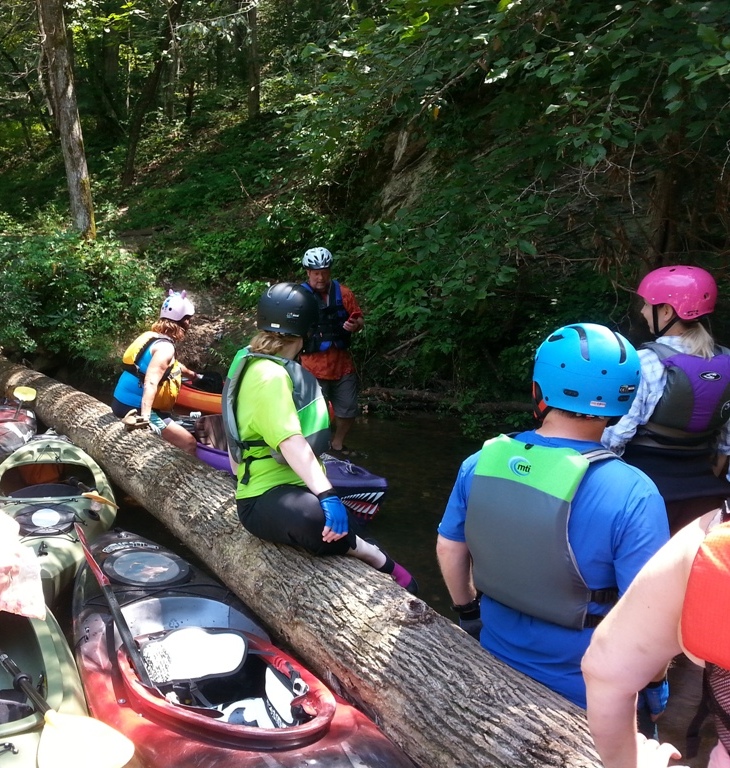
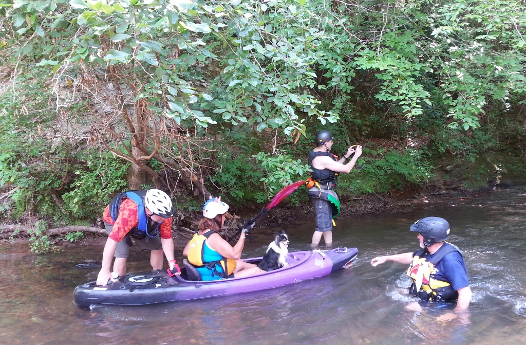
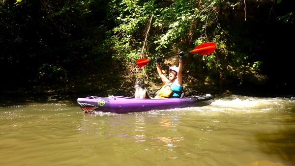
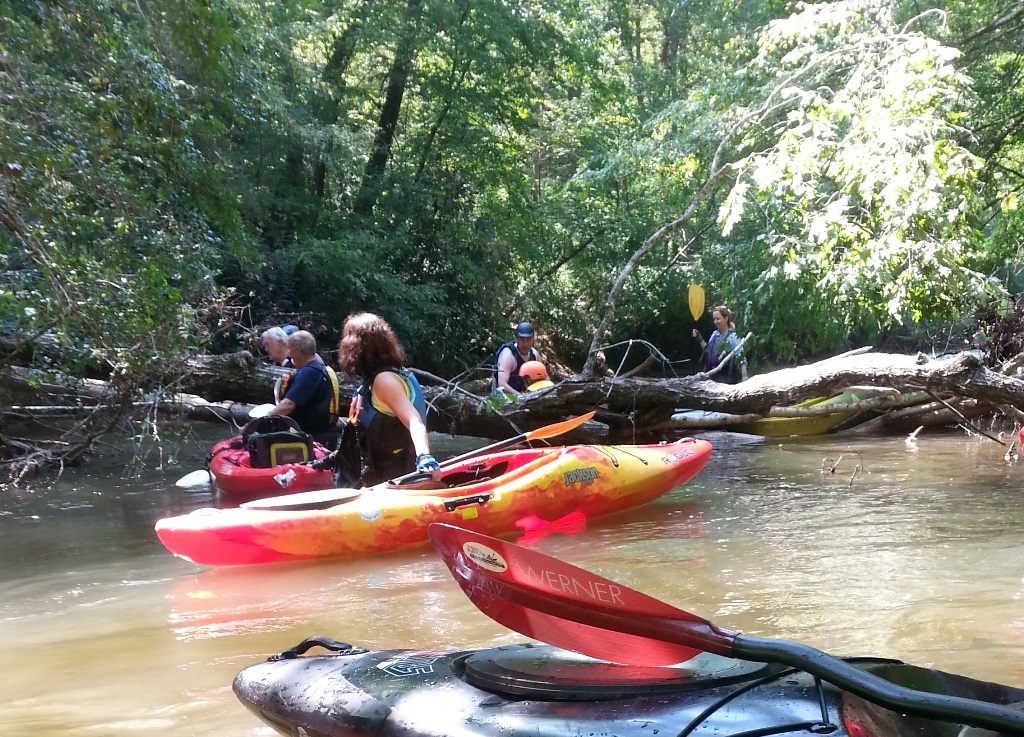
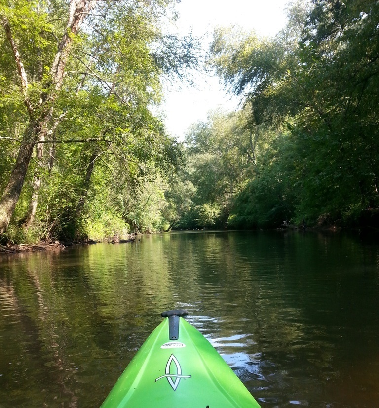
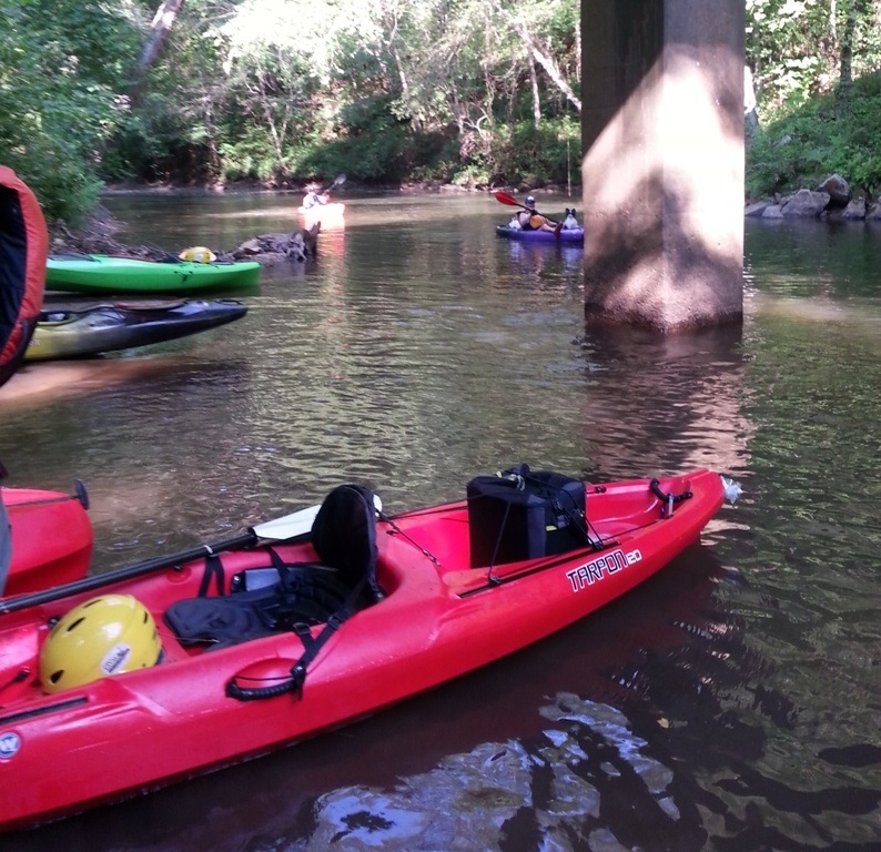
The path is in blue and was taken with my GPS and imported into Google Earth. Dawsonville is off the south end of the map. We started about 10:30 AM and took out about 6 PM. We stopped several times to swim/float/eat lunch, and of course kayak the tunnel.

This trip was about 9 miles.

The rest of these pictures were taken with a Galaxy S III. Some of these pictures were taken by others on the trip.

Yes, there is a tunnel video on youtube. It was taken with an old iPhone inside a dry bag attached to my PFD. https://youtu.be/jbZWV5plWto


It was shady all day under the trees that always hung over the river.
Yes, we had a few ripples of white water but nothing more than class I.
 
The little dog really enjoyed herself. She rode in the front of the kayak all the way.
   
Lunch
Preparing for the tunnel. Its the hole in the rock about 50 feet behind these guys.
Just waiting our turn to go through the tunnel.
The dog and her Mom went just before I did.
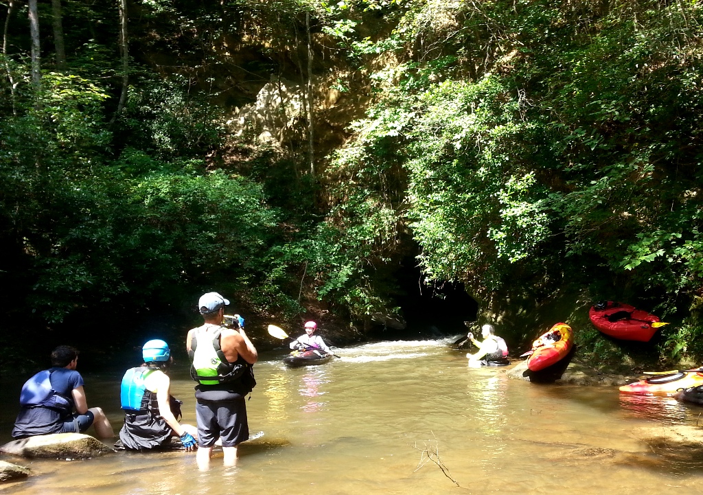
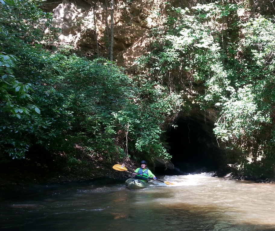
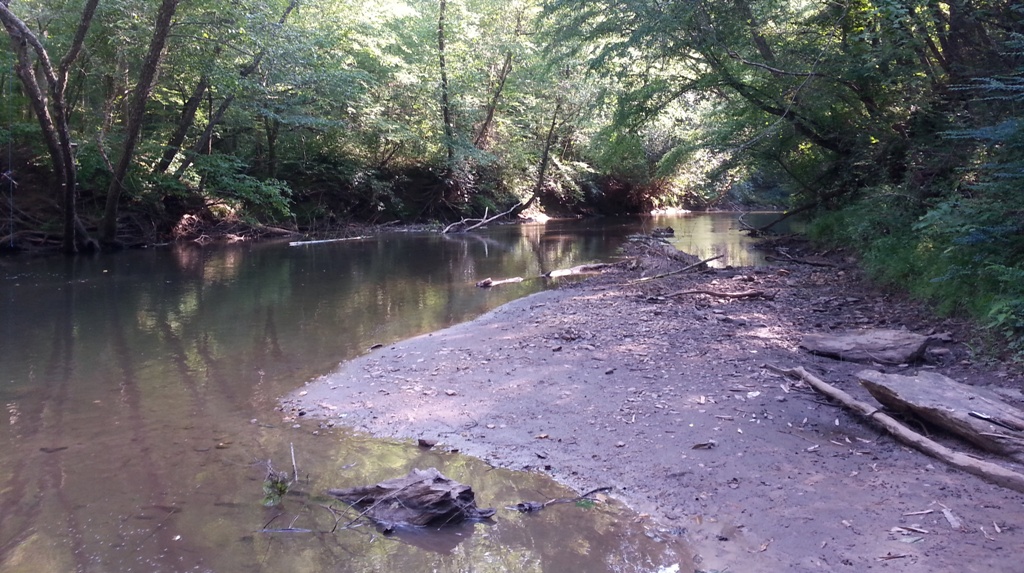
The other end of the tunnel.
 
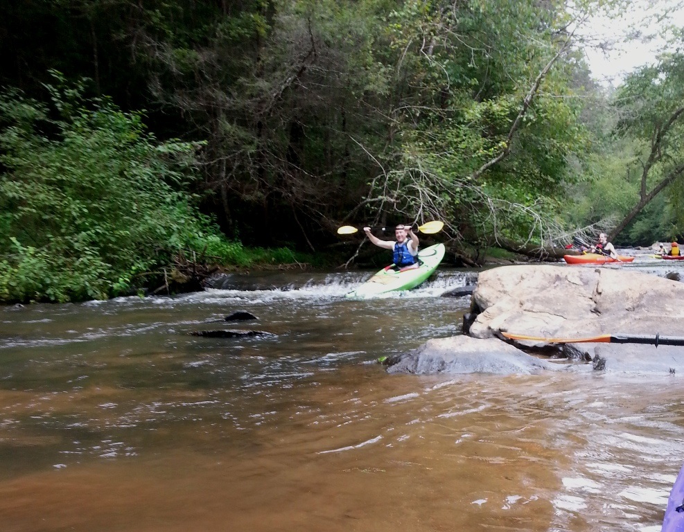
Yep, thats me hitting the final rapid as I came out of the tunnel. It gave new meaning to the light at the end of the tunnel.
 
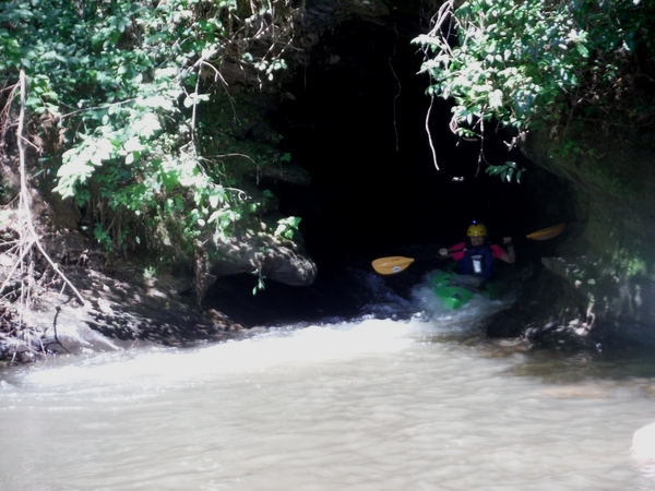
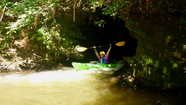
See, I did make it through!


There were at least 5 giant paper wasp nests. Beautiful but dangerous.
This amazing bamboo stand was right next to an old abandoned mill. Those stalks are HUGE!!