|
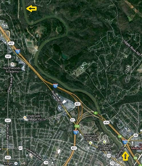
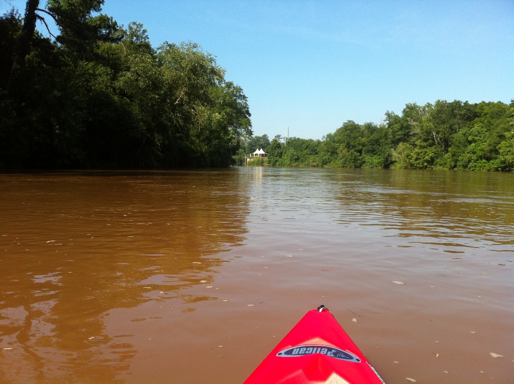
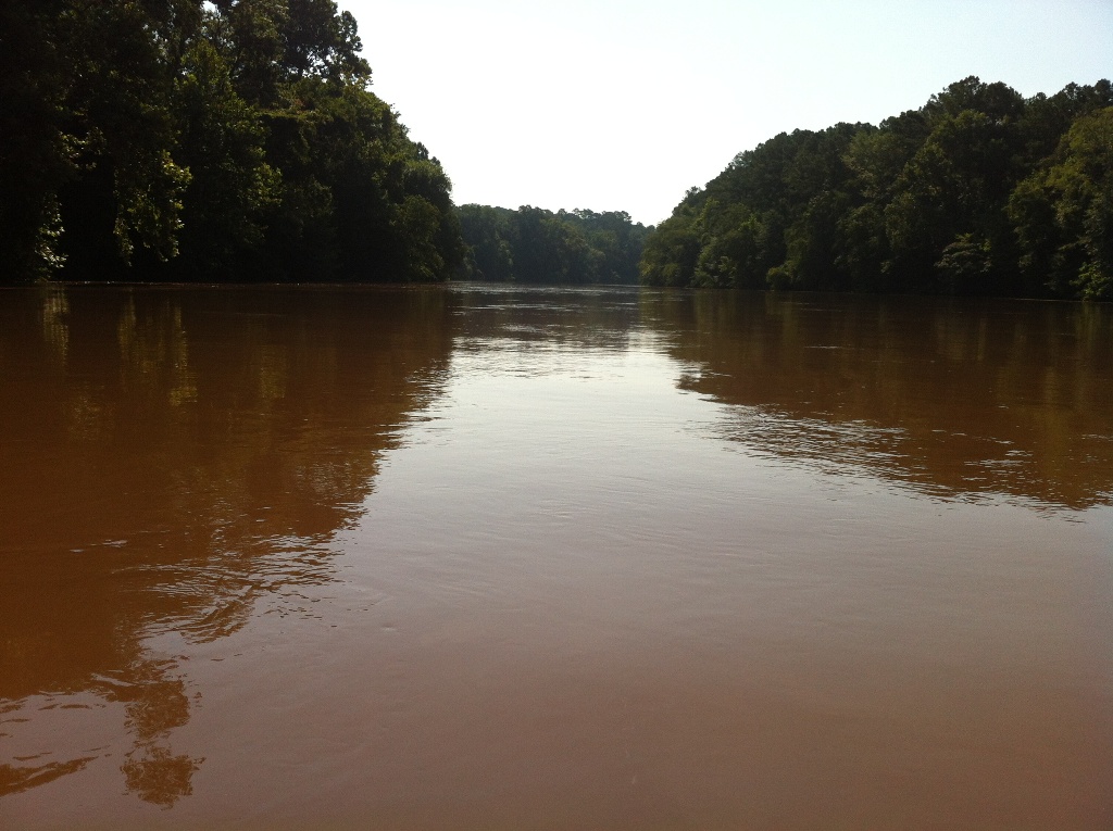
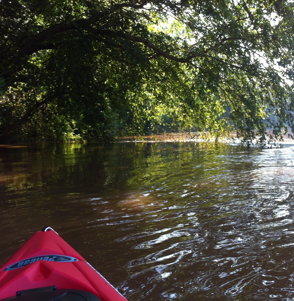
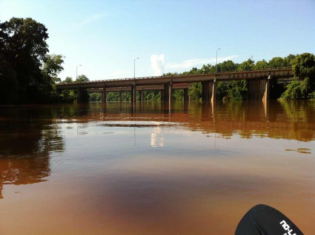
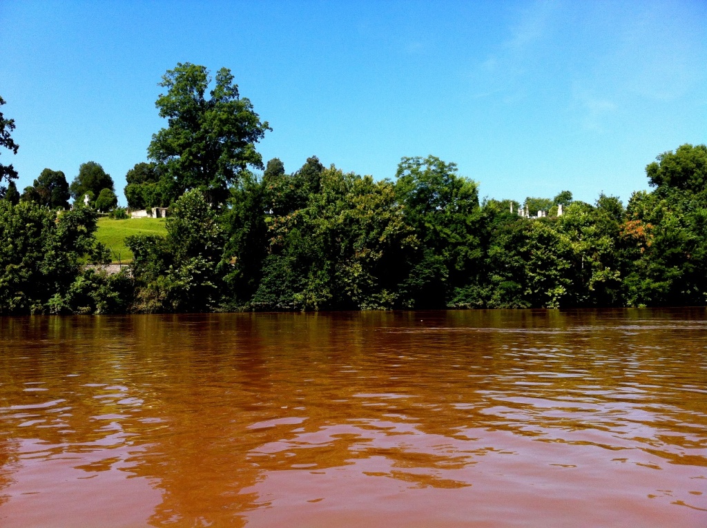
| Making the best of furlough Friday! By the way, all these photos were taken with my cell phone. The GPS was on so if you know how to look, try figuring out exactly where we were according to our latitude and longitude. Google maps snaps to roads but most of the way, a major highway was on our right and we crossed roads at least twice. |
| Started out at Amerson Water Works Park in Macon, GA. |
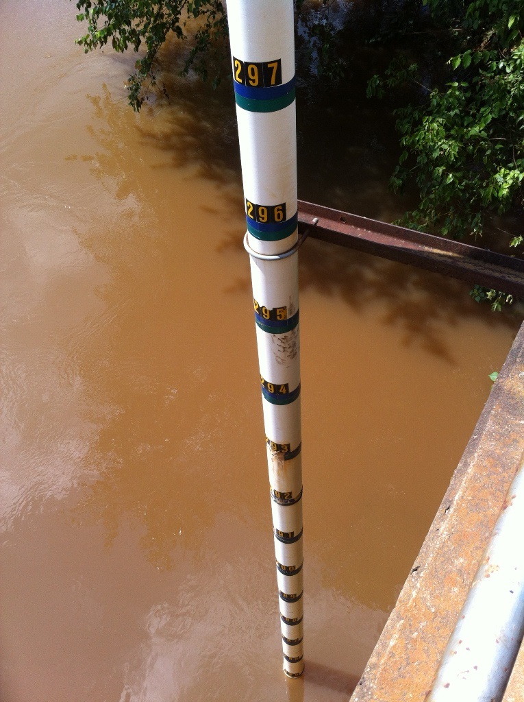
| After we got out, we picked up the other car at the starting point. Then I went exploring at the water works park. If this is a flood gauge then this river is WAY high! It was at the pavillion. |
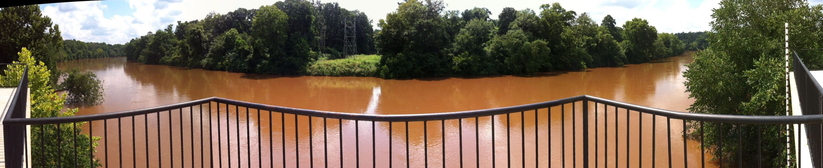
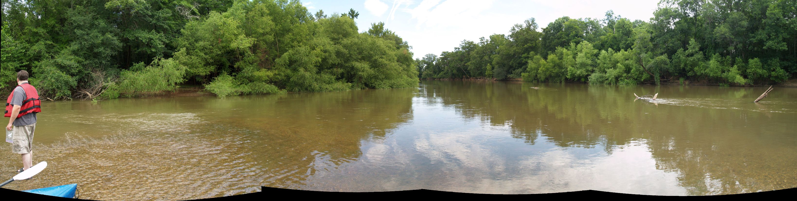
| This is a stitched view from the pavillion's porch overhanging the river. Scroll to the right to see the whole thing. Thats the flood gauge over there on the far right. |

| Way back behind the pavillion was this little bridge along with a full pond or maybe it was a flooded stream. Obviously, the WPA had a part in it. I didn't go over the bridge; it has a large eroded hole just to the right of the sign. |
|
|