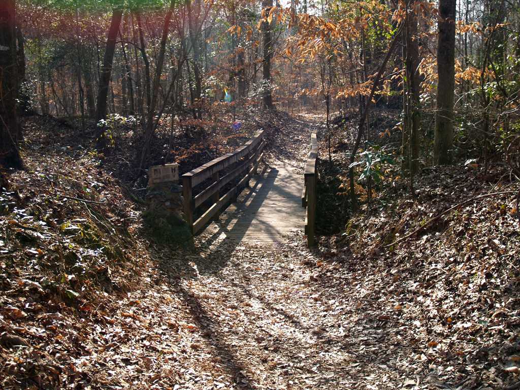
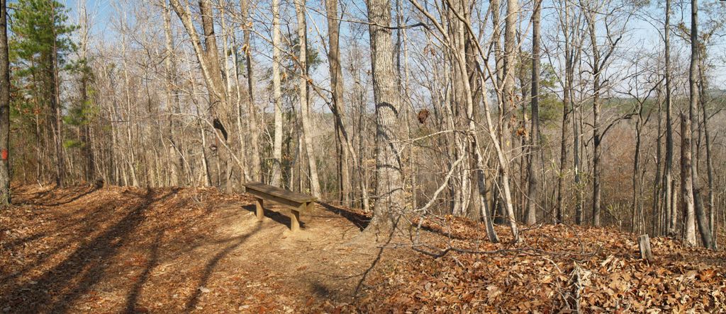
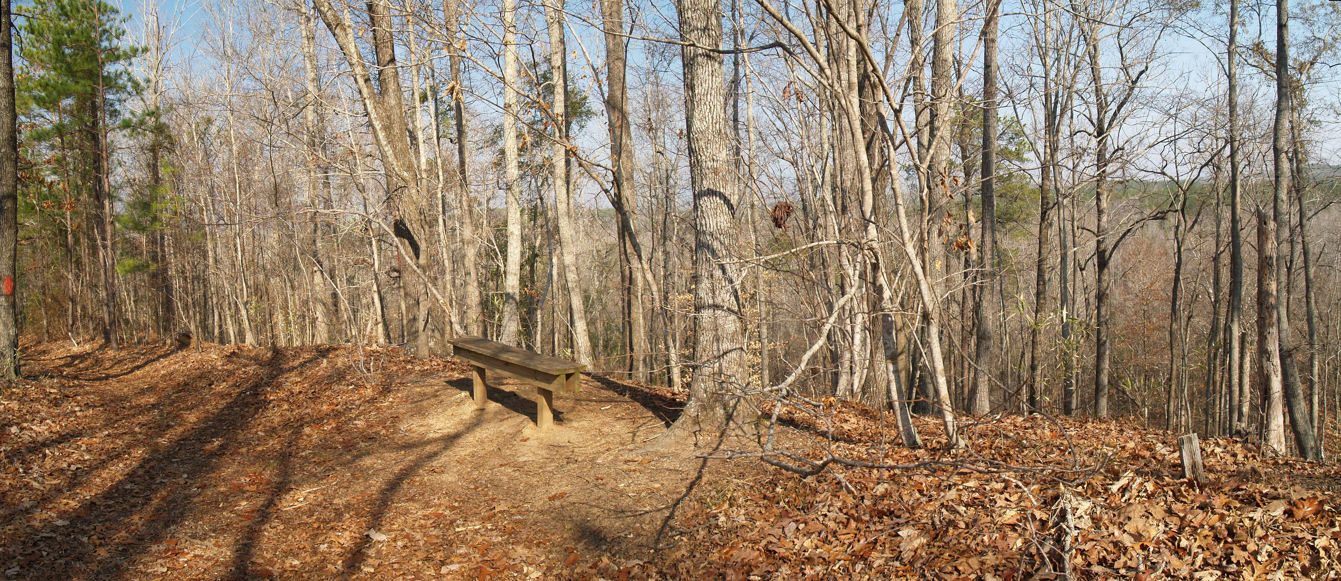
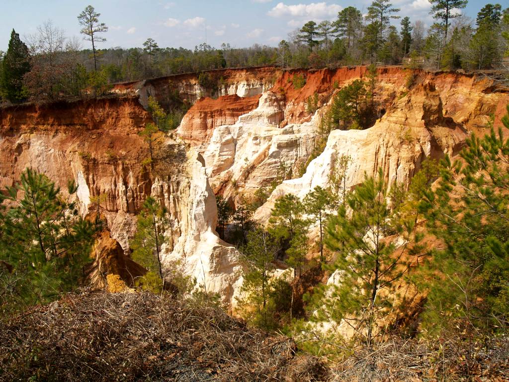
Providence Canyon State Outdoor Recreation Area
February 19, 2011
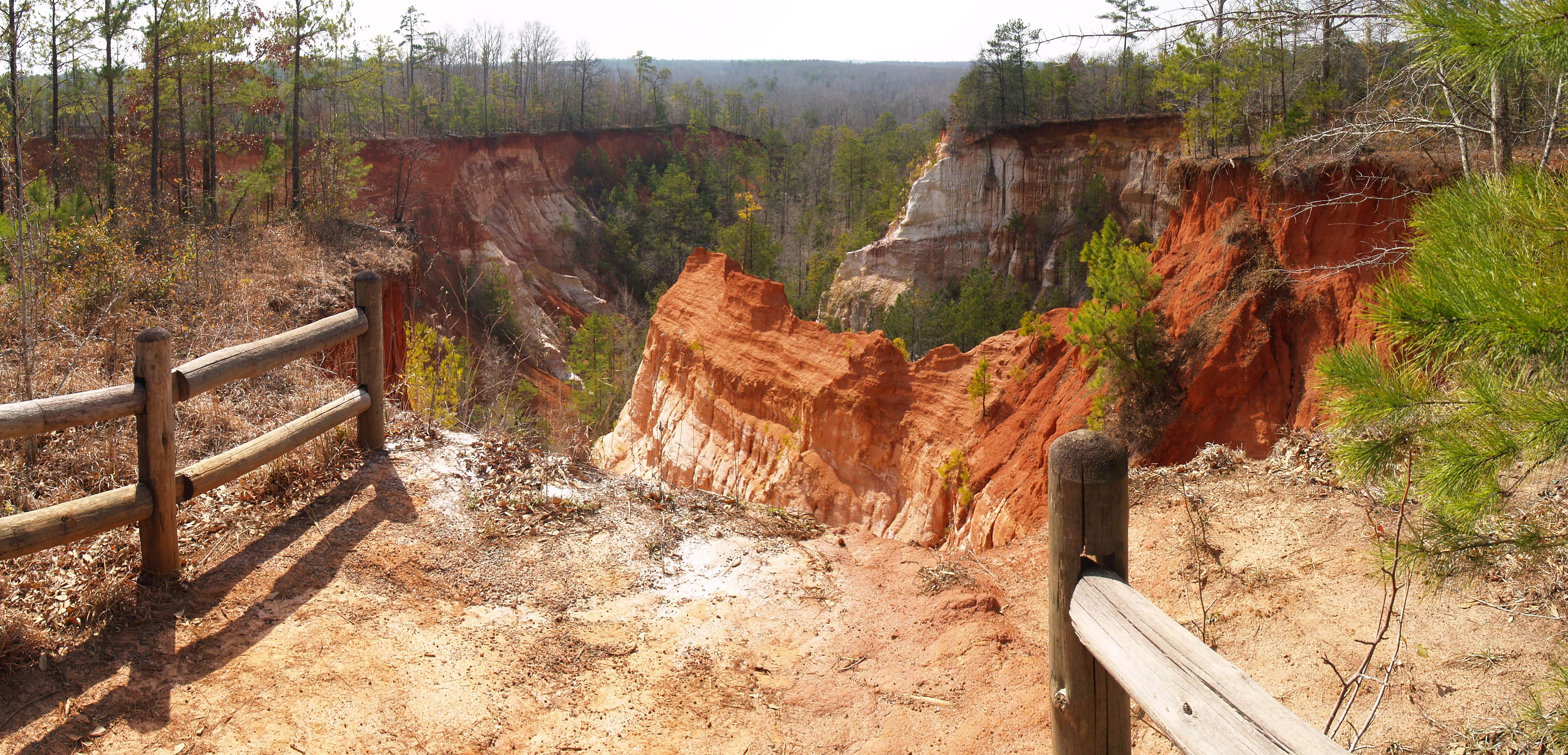
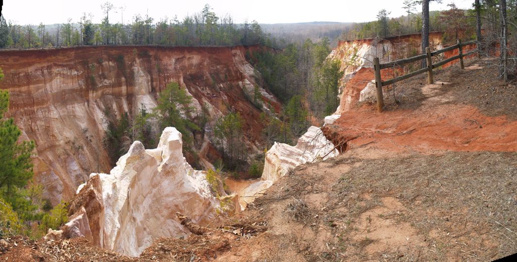
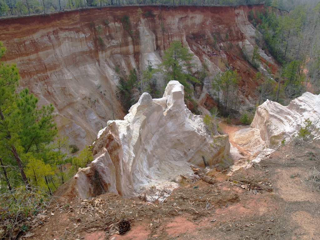
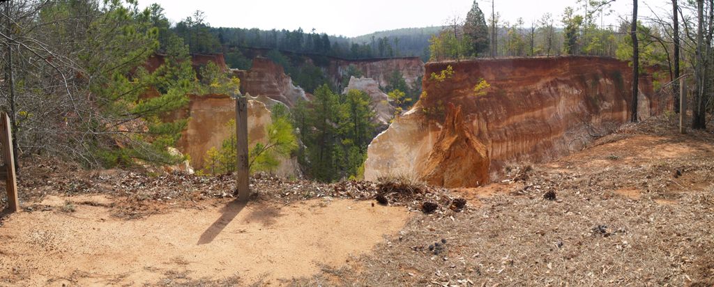
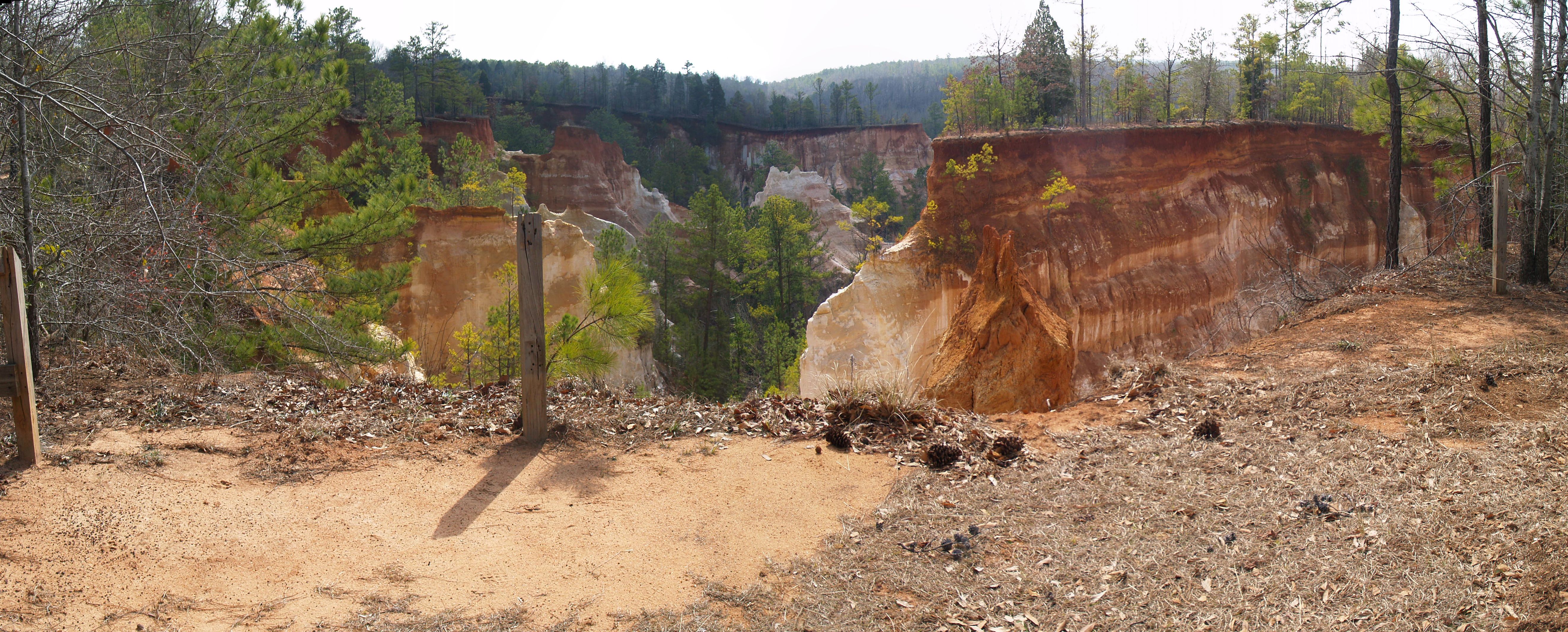
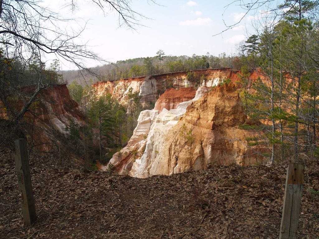
These canyons were made possible by the early farmers (1800s)
who did not know about erosion or ways to prevent it.
February 19, 2011
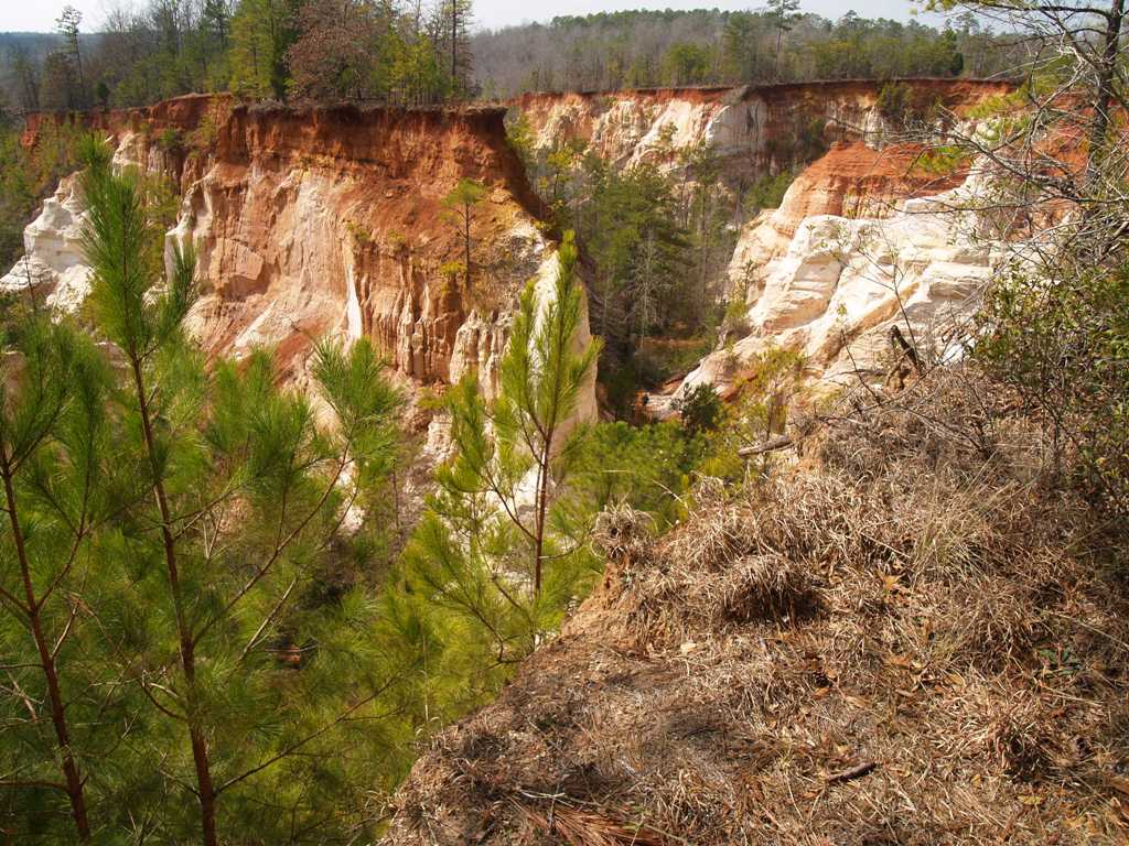
These canyons were made possible by the early farmers (1800s)
who did not know about erosion or ways to prevent it.

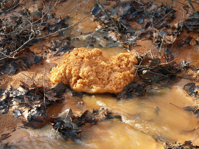
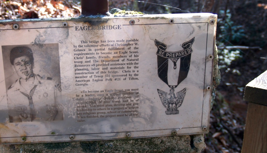
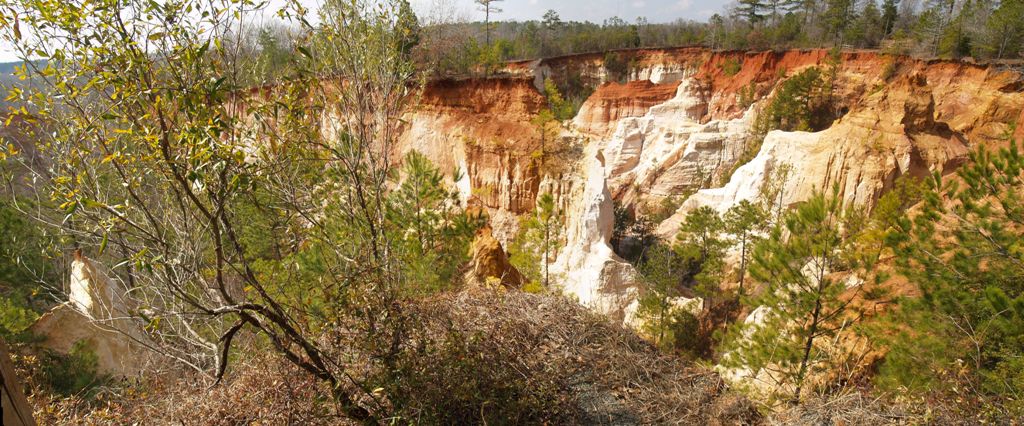
But it was interesting looking so it posed for a picture.
| Look carefully, right in the middle there are roots growing from that vine in the middle that hang about 10 feet to the ground. |  |


| For those of you interested in the Methodist Church. I didn't get close enough to this sign. Next time I go I will take a better one. | 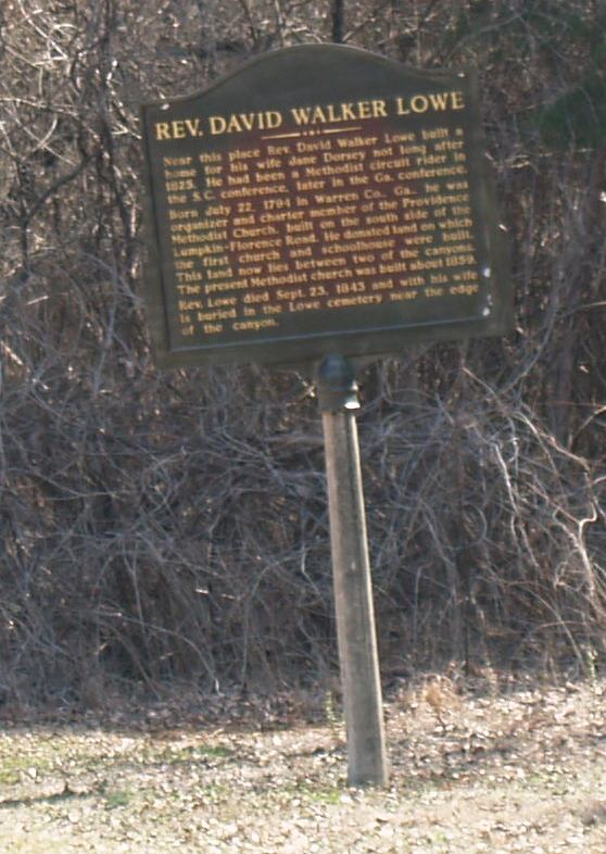 |