El Paso area 2009
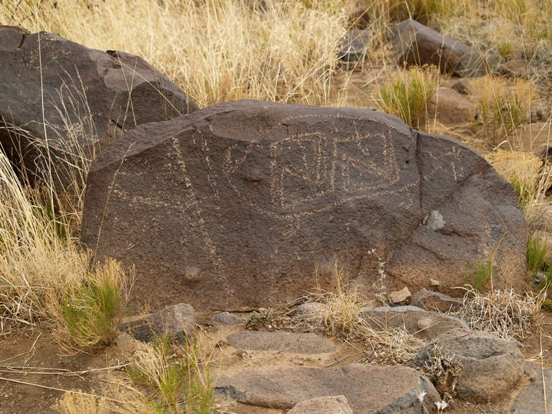
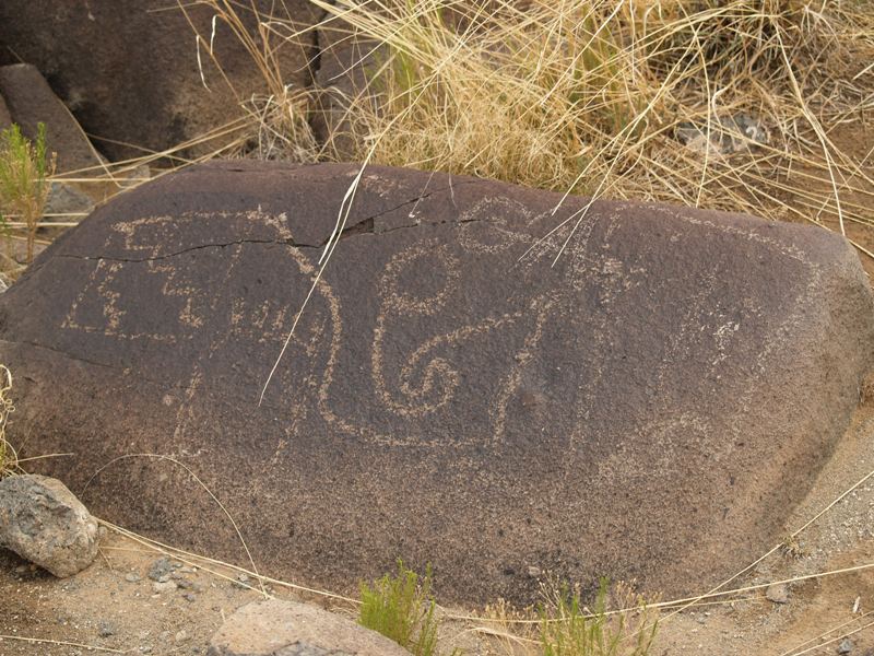
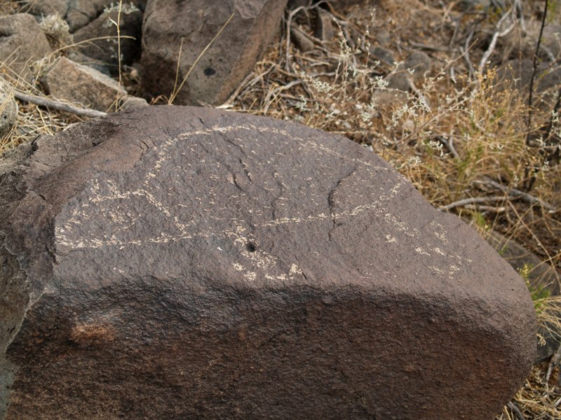
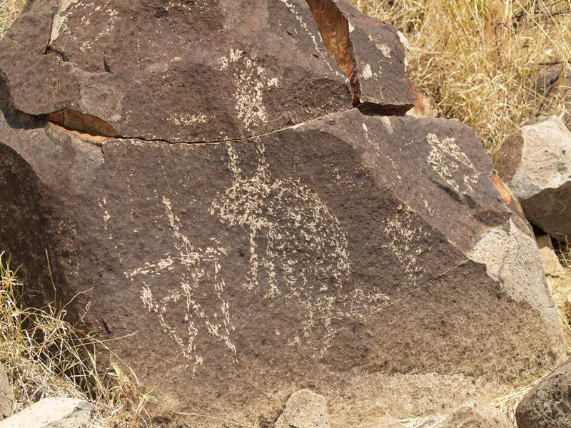
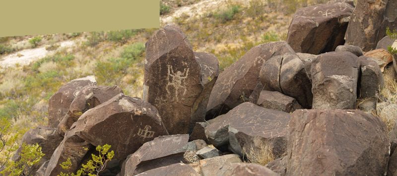
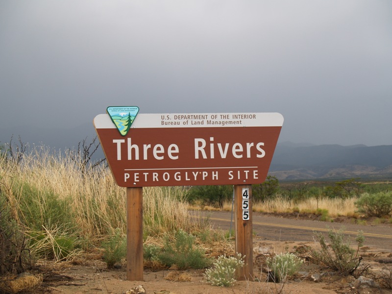
Three Rivers Petroglyph Site
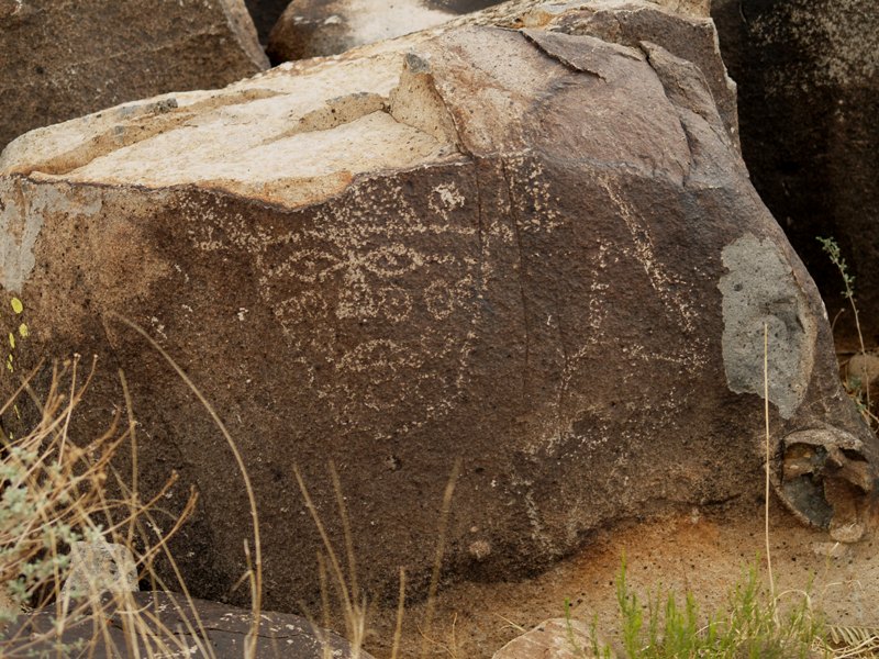
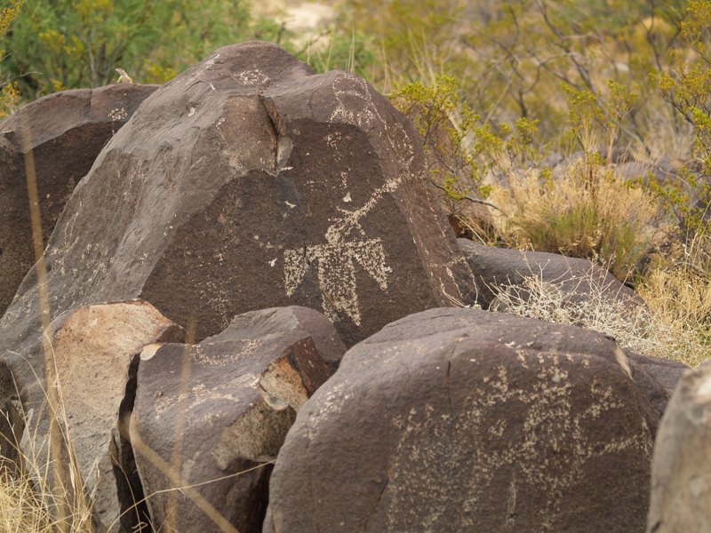
Three Rivers Petroglyph Site
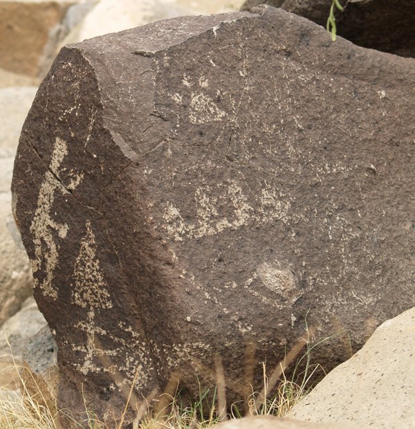
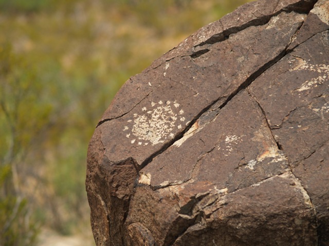
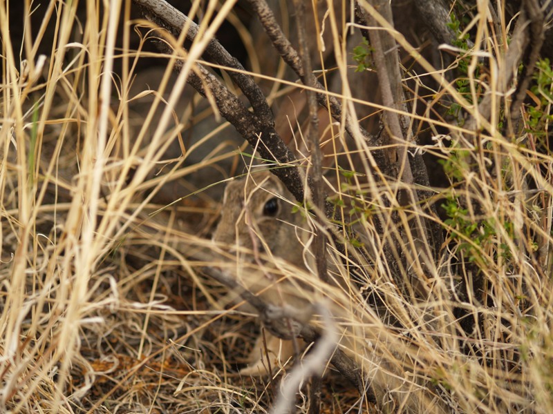
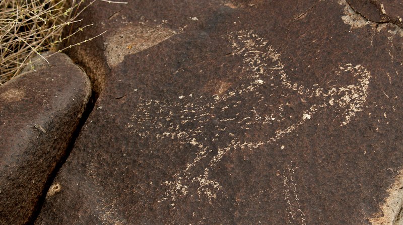
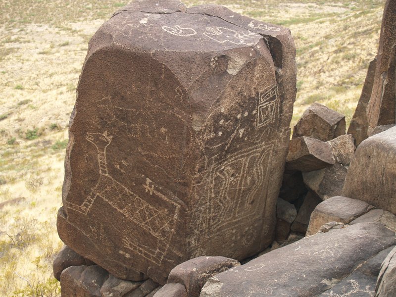
| Can you find whats hidden here? |
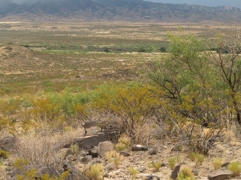
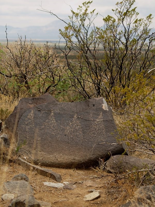
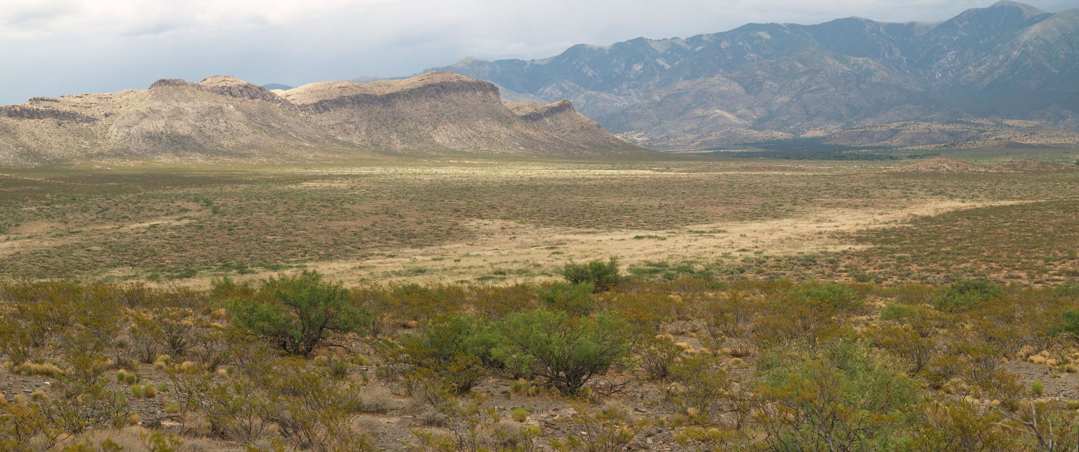
| We aren't at the top yet but we can now see where we came from. That curved shelter about half way down is on the trail. The white area below and to the right is where we started. Notice, there are no rain clouds in the distance. |
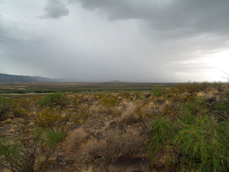
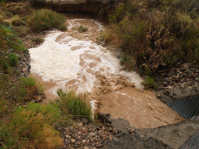
| This was taken at 1:50PM, 13 minutes later than the one before. The camera lens got one dot of rain and then it poured. Just one minute later, we were soaked. We hurried back as fast as we could. Because we were on a ridge line, we were in danger of being struck by lightning. All we got was wet. |
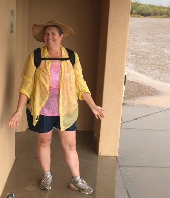 |
One drowned rat, the other one was taking the picture. |
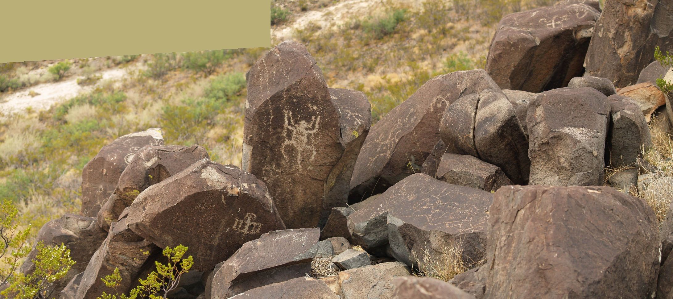
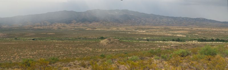
| The above shot is a panorama. Select panorama #1 (334kb) . Chaulk up that solid green to the camera not being lined up properly. |

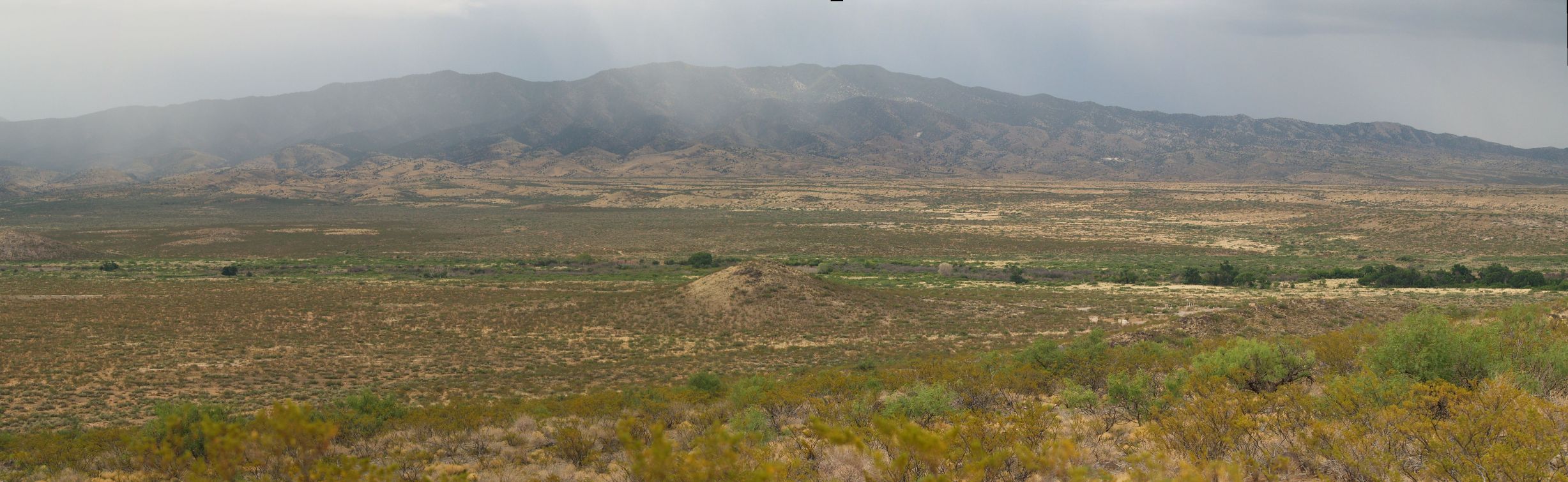
| Those mountains over there are getting wet. Select panorama #3 (334kb) to see a larger view. |
| Day 1 - Fluorite Mine, Wildfire, Kilbourne Hole |
|
||||||||
| Day 2 - Three Rivers Petroglyphs |
|
|
|
||||||
| Day 3 - Fluorite Mine | Fluorite Mine | ||||||||
| Day 4 - Hueco Tanks trip #1 |
|
Hueco & Aden Crater | Hueco info | ||||||
| Day 5 - El Paso Missions |
|
||||||||
| Day 5 - Wilderness Park Museum |
|
||||||||
| Day 6 - Hueco Tanks trip #2 |
|
||||||||
| Day 6 - Guadalupe Mountains |
|
Guadalupe Info | |||||||
| Day 7 - White Sands National Monument |
|
||||||||
| Day 8-9 - The El Paso Loop Trail | Loop Trail | ||||||||
| Day 10 - Hueco Tanks trip #3 (The best of the trip) |
|
|
|
||||||
| Day 11 - Trip Home | Trip Home | ||||||||
| Link to the Small Versions | Back to the map page. | Please mail me broken links-pics. |