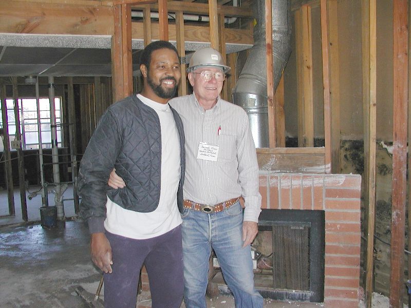
Cleaning up
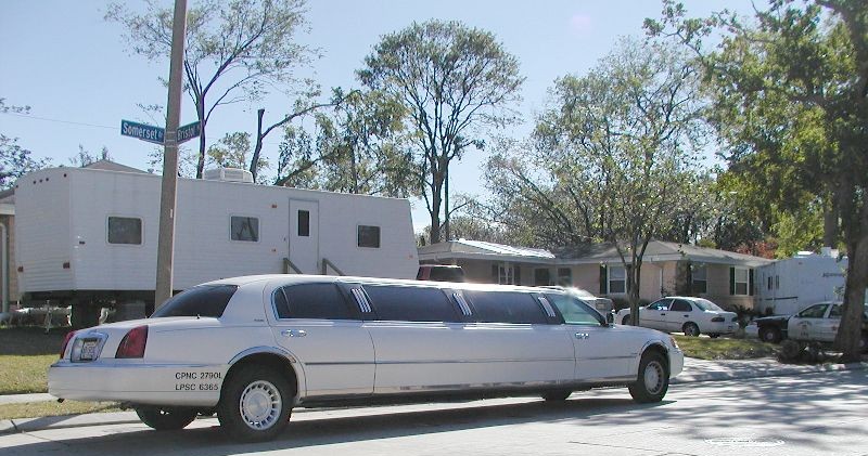
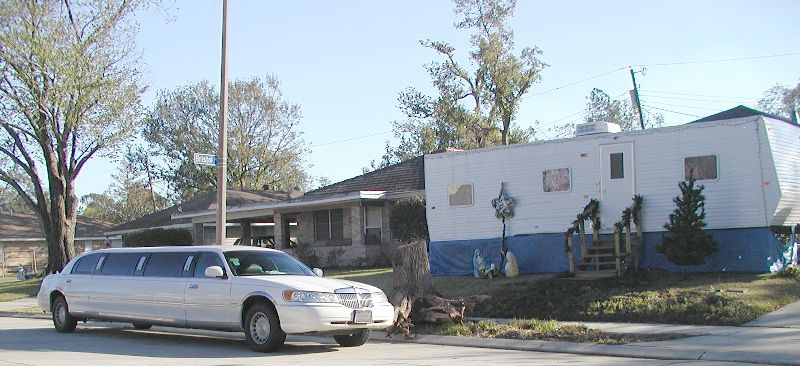
FEMA trailer with limousine
in front.
The home owner must drive it for a living and it is safer at his home than elsewhere. There were 4 FEMA trailers on this block and this side of the river did not flood. It was all wind damage.
The home owner must drive it for a living and it is safer at his home than elsewhere. There were 4 FEMA trailers on this block and this side of the river did not flood. It was all wind damage.
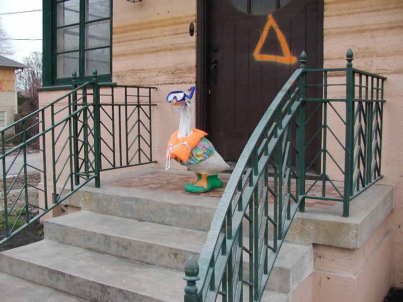
This goose appeared
on a doorstep on Harrison Ave near Lakeview.

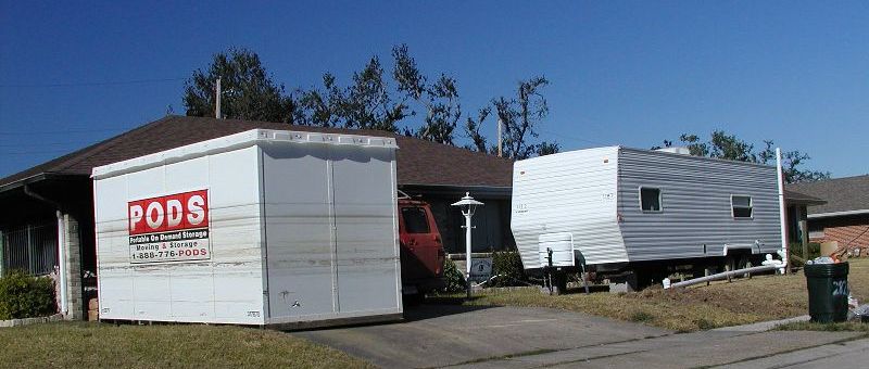
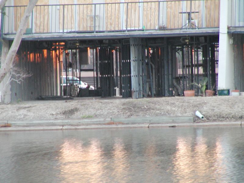
This house burned a
few days after power was restored. A tree had fallen on the back side
of the house. The only PODS they could get must have been in a flooded
area during the storm. These storage containers are showing up everywhere.
| Evacuation
Wanderings |
Levee
Breaks |
Levees
and Breaks |
Flooded
Houses |
UNO, Ursuline, and relatives houses. |
Driving Around |
Do/don't like the site? Email me and tell me about it. |
|||||
| Cleaning up and some fun pictures. | |||||
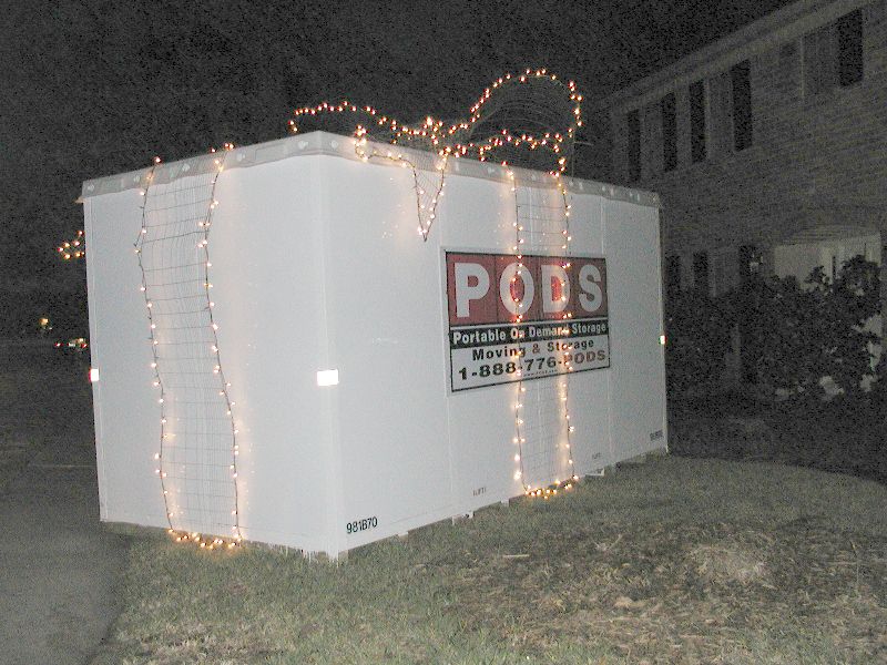
| Christmas around town | |||||
| Link copied from southbear.com which describes very well why the flood was so bad. | |||||
| JEMS - Excellent description of what went on from EMS' point of view.. | |||||
| UNO pictures | |||||
| The islands (Dauphin and Chandeleur) that protect our coastline an southern cities. | |||||
| Miscelaneous satellite pictures. | |||||
| More Katrina pictures from WWLTV.com | |||||
| More pictures found on the web. | |||||
| Lakeview pictures during the flood mailed to me 3-3-06 | |||||
| Lakeview Revisited - Pictures 7 months after Katrina taken in March 2006 | |||||
| The surge out at Michoud from WWLTV.com | |||||
| Doug's fly over pictures of Katrina's damage on our swamps and southernmost towns. March 2006 | |||||
| Back to the main Katrina map page | |||||