|
Miscelaneous Satellite pictures from
USGS
|
| Descriptions are just landmarks. The whole picture covers much more than the descriptions. |
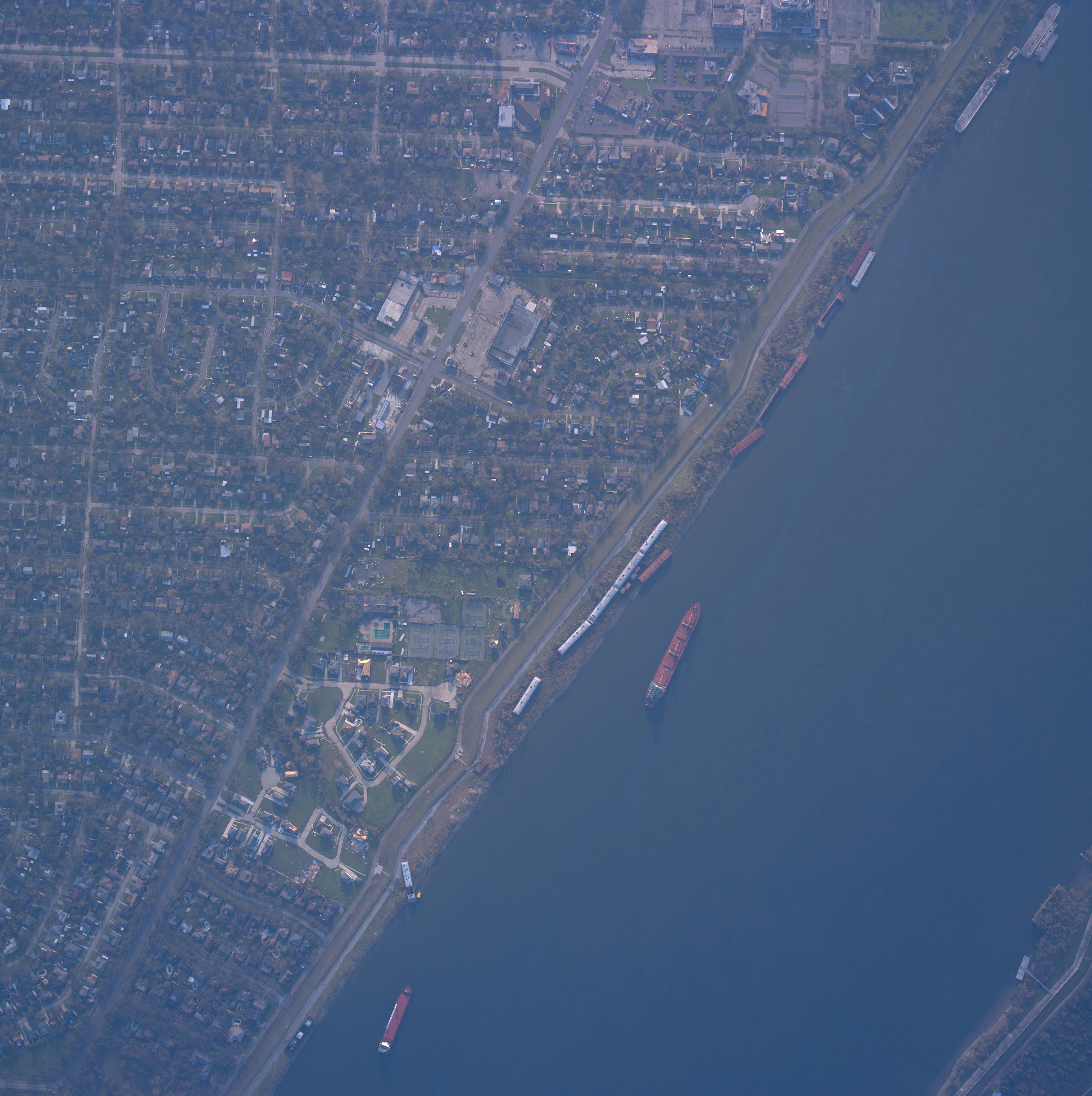
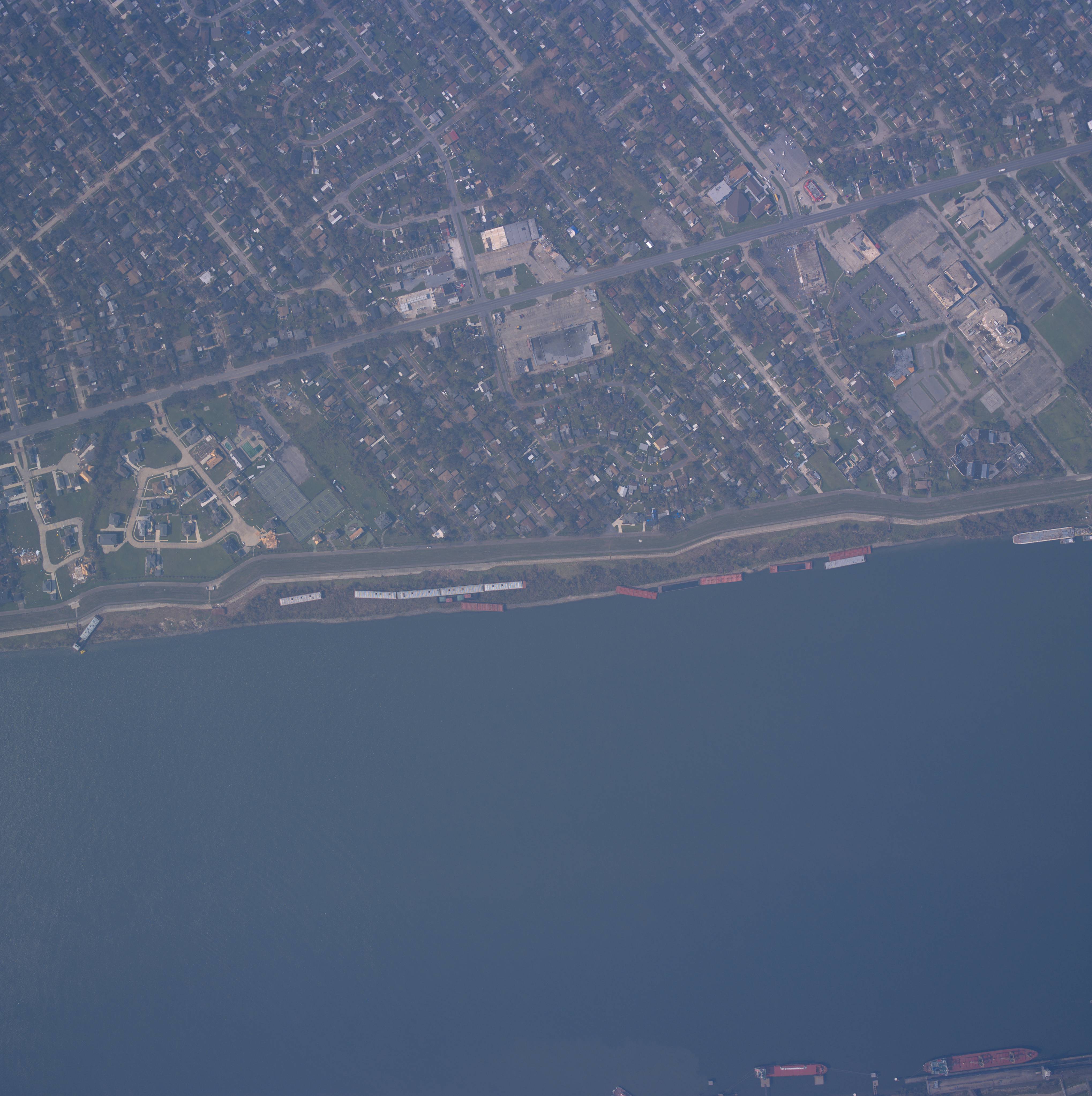
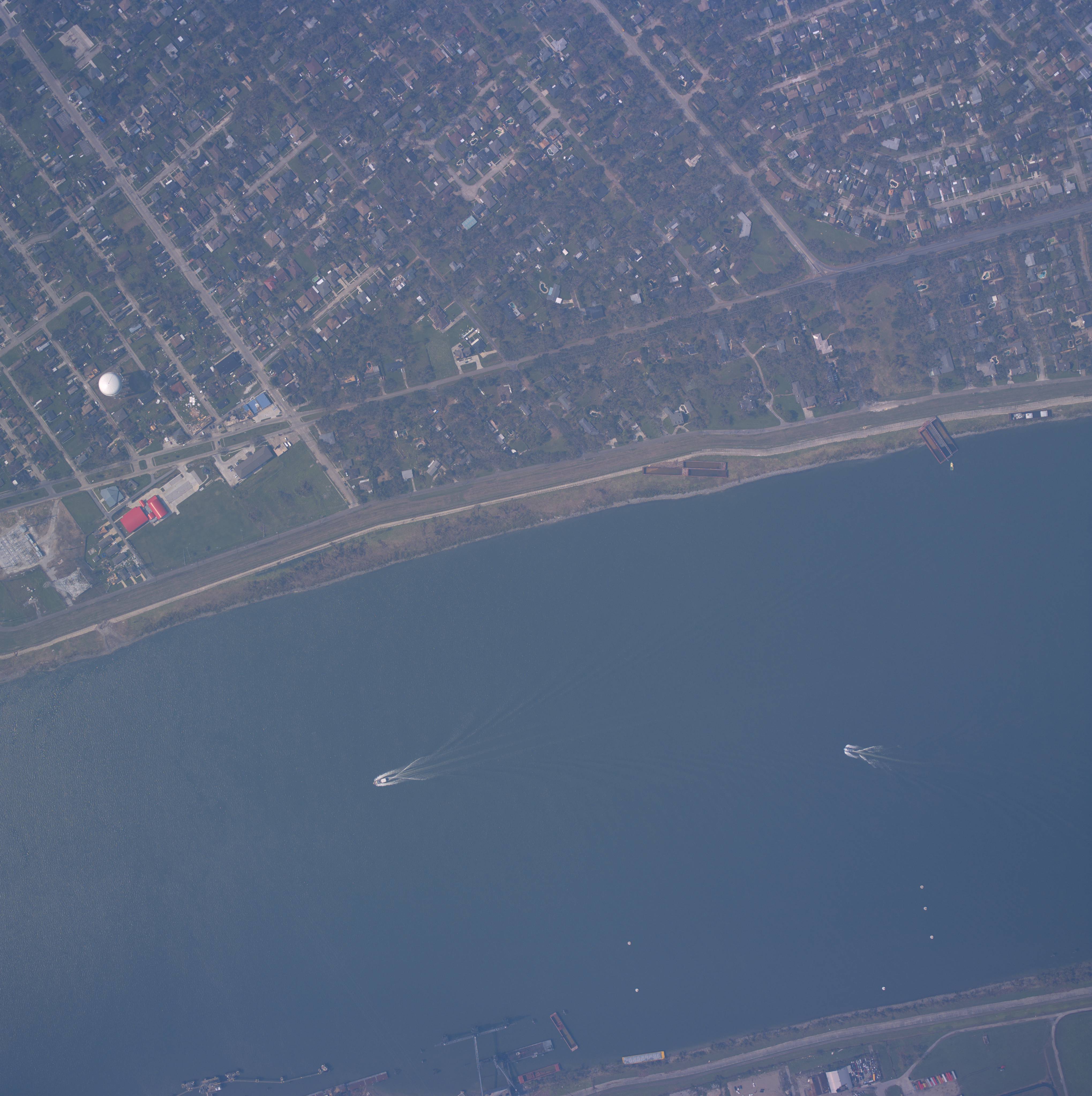
| 24441075.jpg (1,167 KB) - Tennis courts at
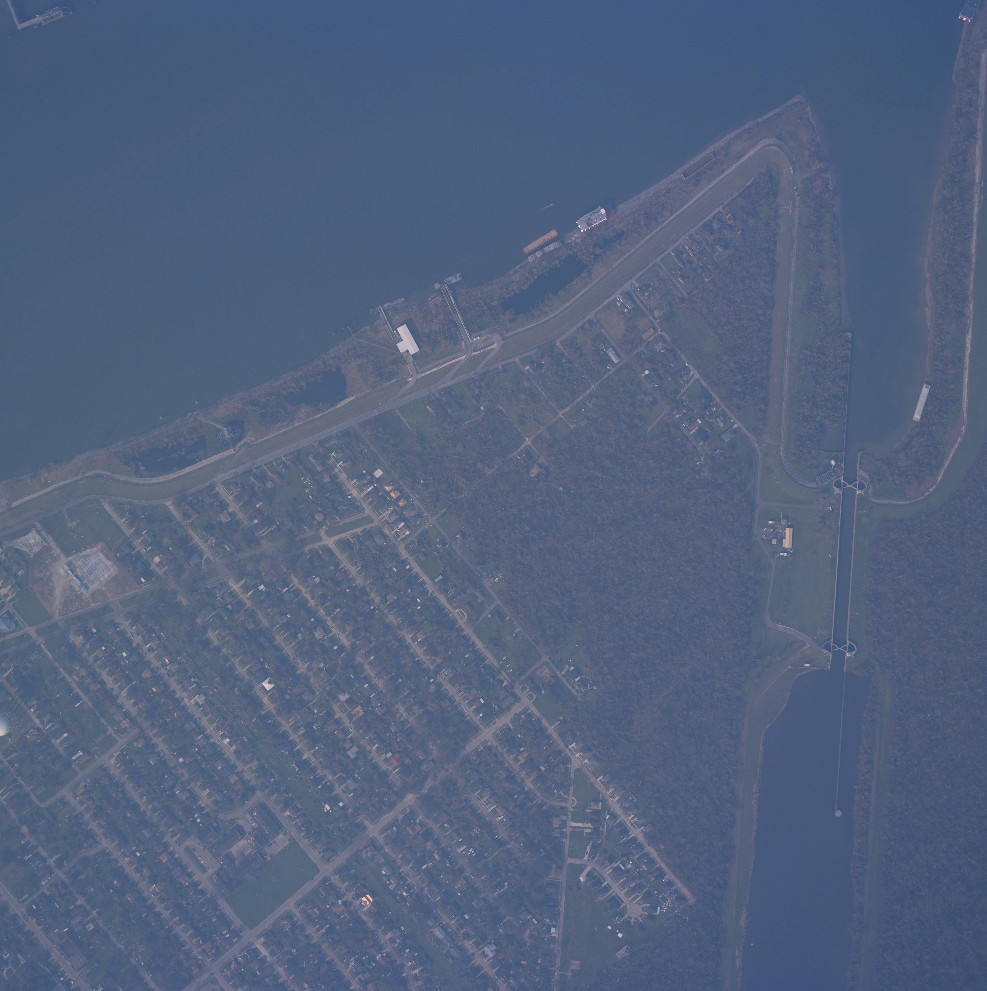
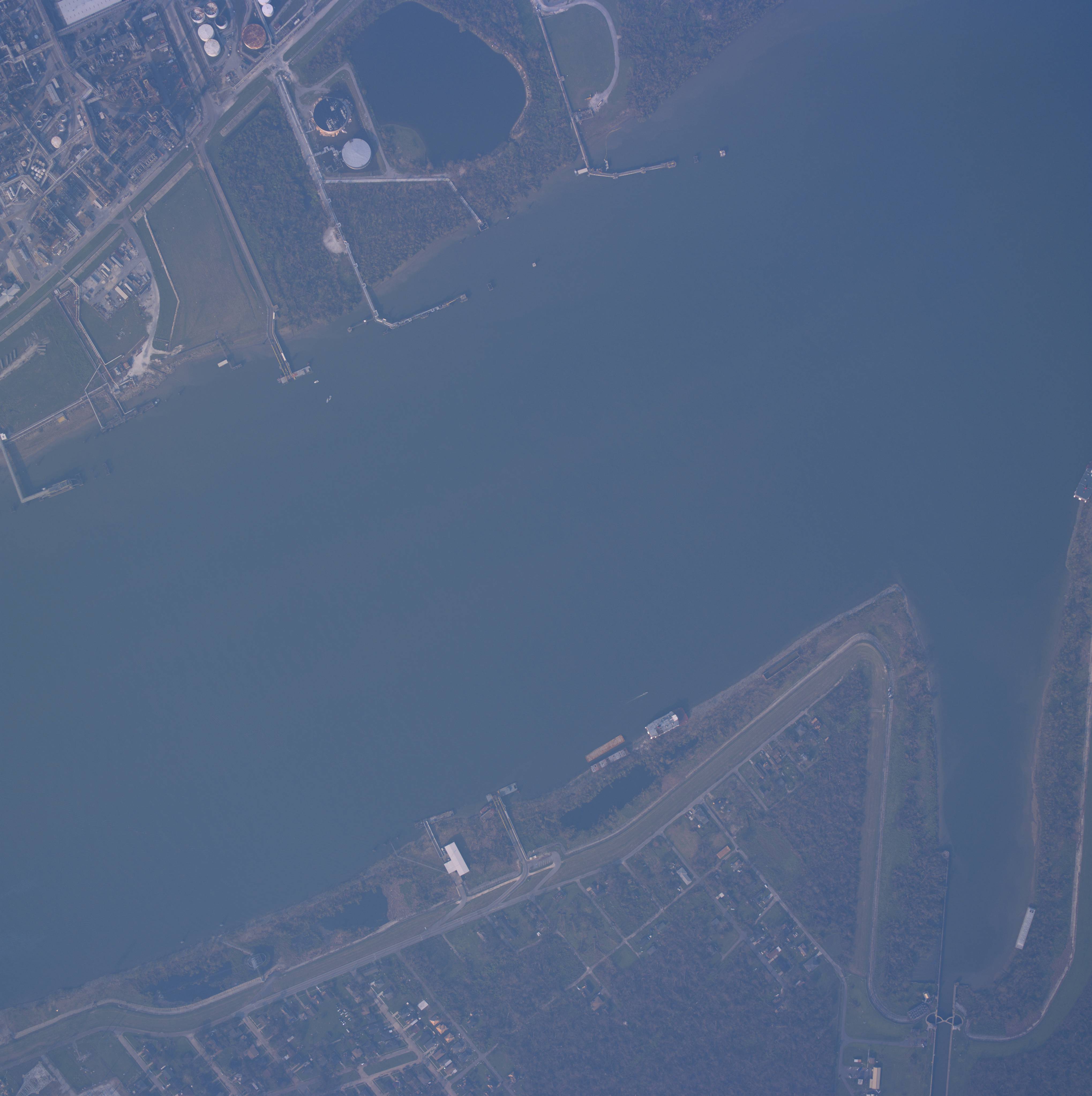
Aurora Gardens Country Club. Barges in batture. 24713036.jpg (850 KB) - Chalmette ferry in batture on westbank. 24714042.jpg (1,133 KB) - Barges in batture by Huntlee and river road. 24714047.jpg (1,613 KB) - Aurora Country Club tennis courts. 24715475.jpg (1,142 KB) - Power station, red playground buildings, barges on levee. from Ernest St. up to Cumberland Ct. (2 streets up from Woodland) 24715479.jpg (1,469 KB) - Barges in batture near power station by Chalmette ferry on westbank. 24737995.jpg (947 KB) - Chalmette ferry landing in westbank. Ferry in batture. Algiers Locks. 24738001.jpg (739 KB) - Chalmette ferry in westbank batture. Algiers Locks. |
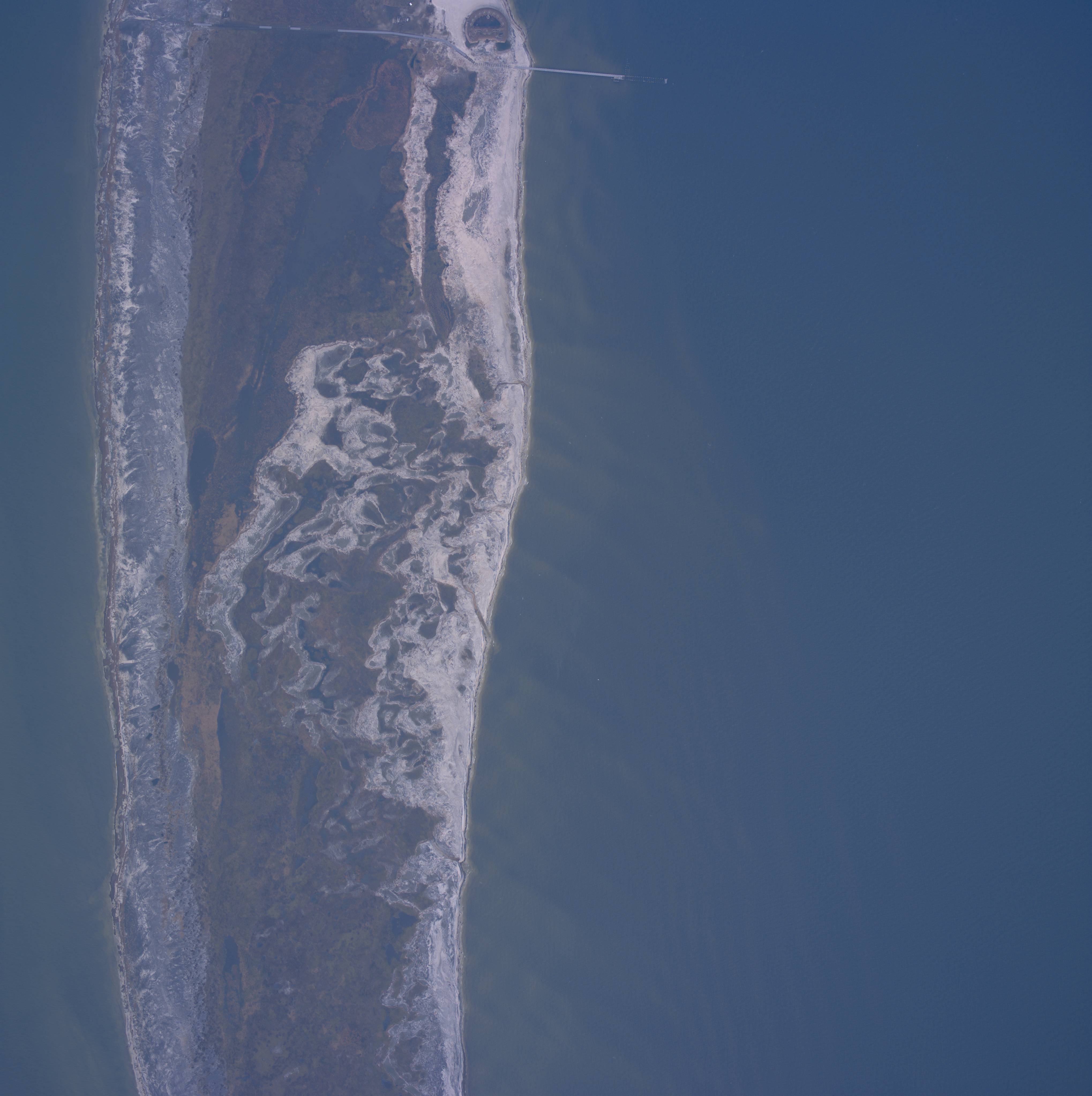
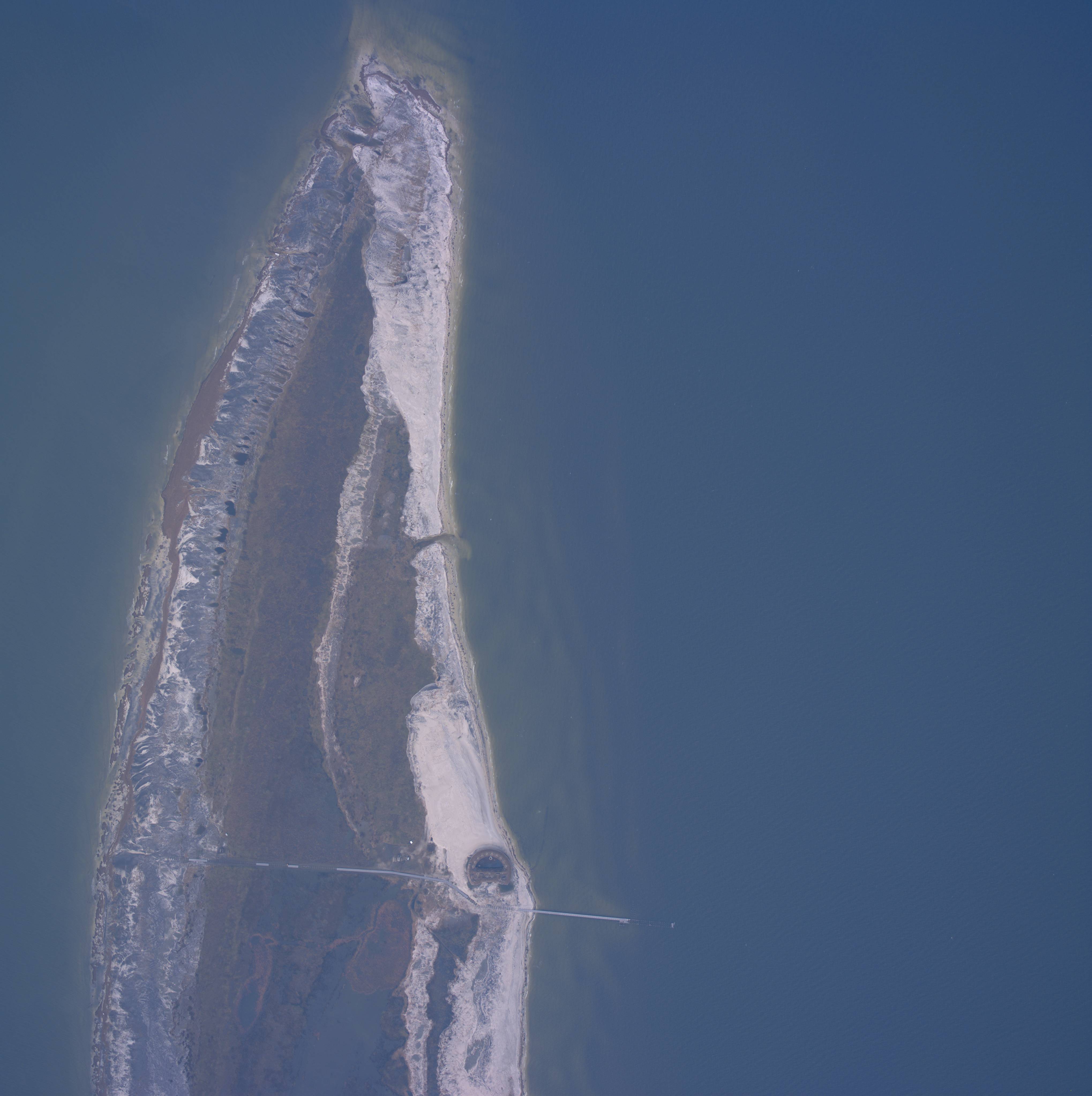
| 24511125.jpg (861 KB) - Ship Island
and Fort Massachusetts. Fort is at upper right. 24511130.jpg (856 KB) - Ship Island and Fort Massachusetts 24511135.jpg (780 KB) - Ship Island and Fort Massachusetts |