Katrina August 29, 2005
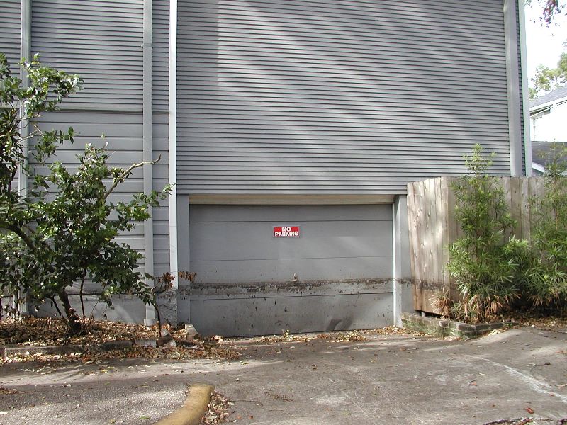
Places only my relatives would be interested in.
Places only my relatives would be interested in.
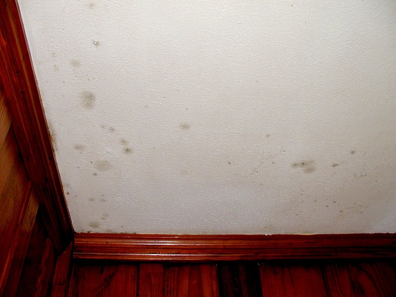
Notice water mark is above the highest dark one.
|
Katrina August 29, 2005
Places only my relatives would be interested in. |
|
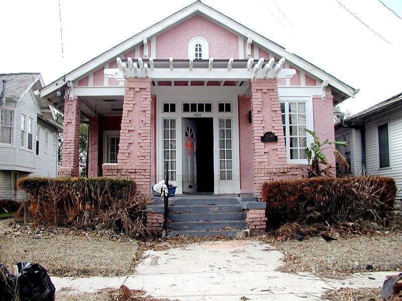
| 4526 South Prieur. Water came up to just above the window sills or just above the second pane of glass next to the front door. |
|
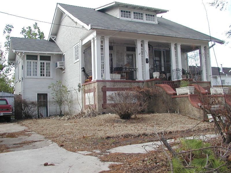
| House down the street from Prieur. |
|
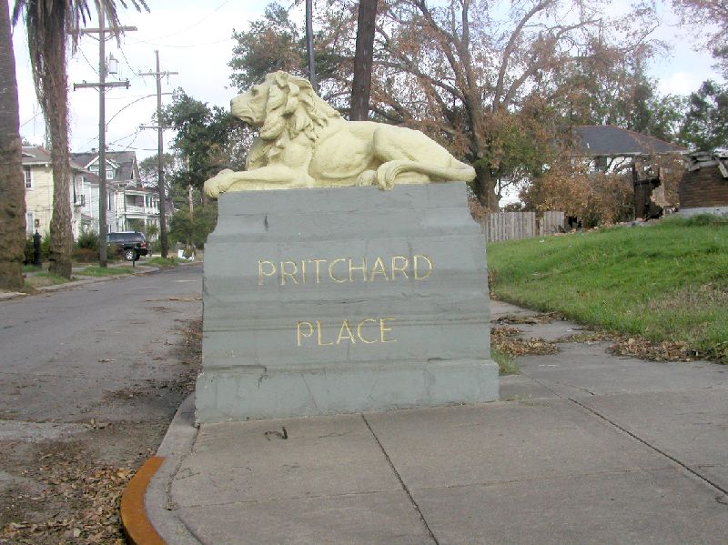
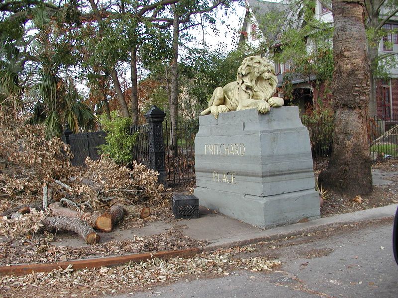
| These lions seemed to be really small. I guess I grew up. |
|
|
| 8212 Pritchard Place. Zip code 70118. They got just about 2 inches in the house. |
|
| 8228 Pritchard Place. Hopkin's house. |
|
| Down on the corner of Dante St. and Pritchard Place. |
|
| 1936 Carrolton Ave. Corner of Spruce
St and Carrolton Avenue. Notice water mark is above the highest dark one. |
|
| Spruce St. side. |
|
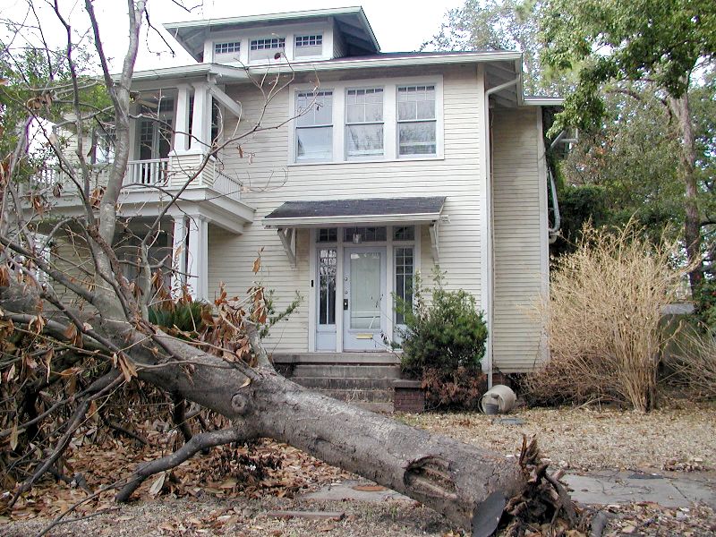
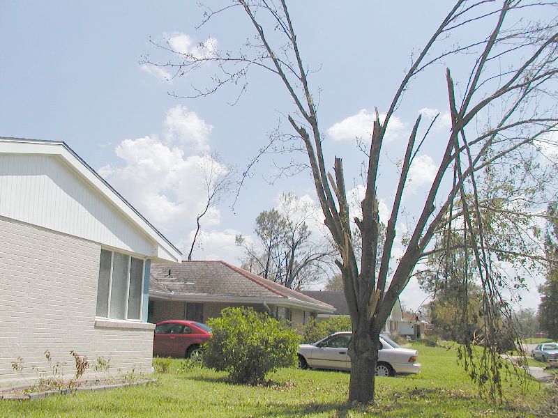
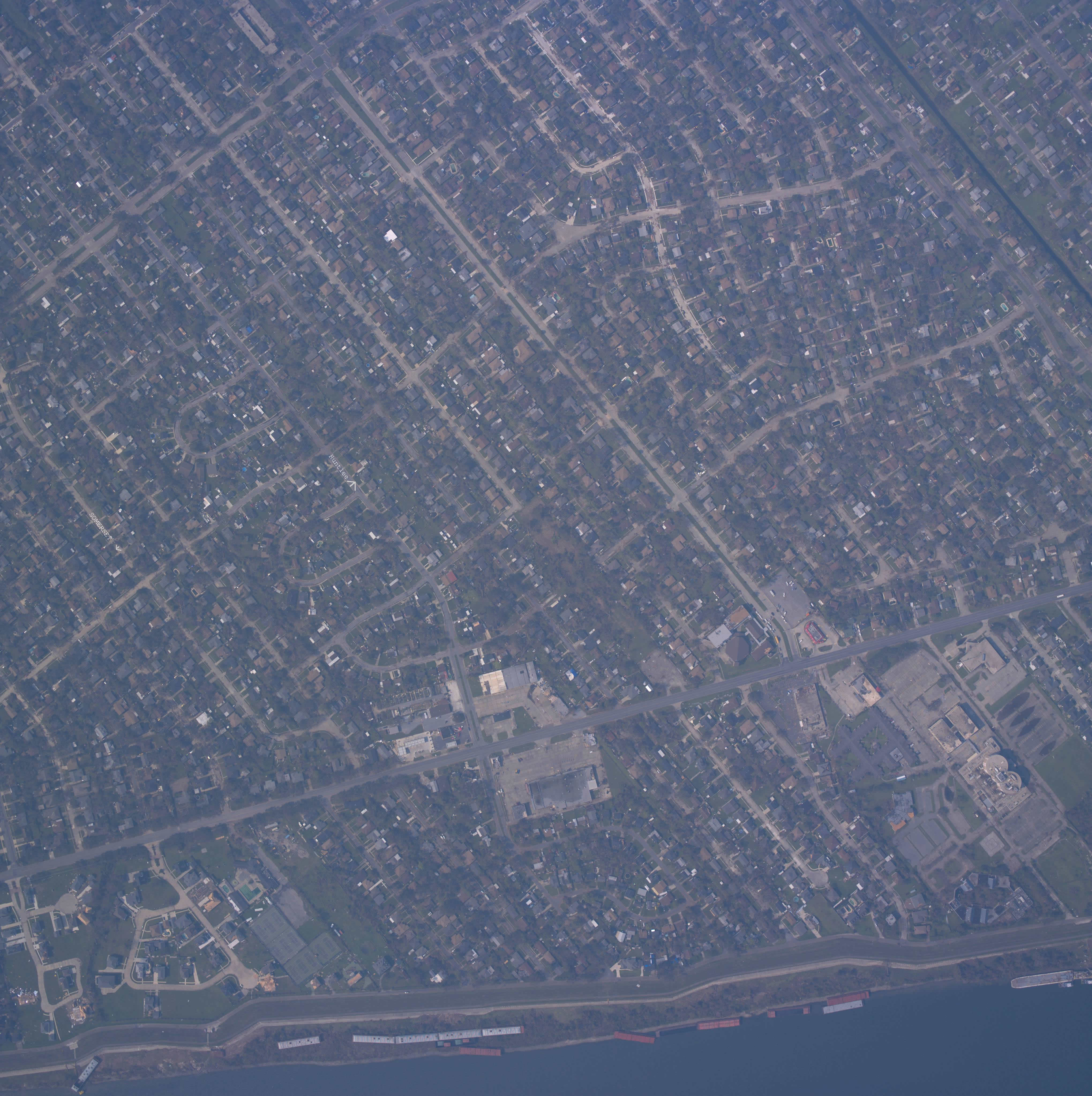
| 2618 Somerset Drive, 70131. This was a huge ornamental Bradford Pear. It filled the front yard and shaded the house. |
|
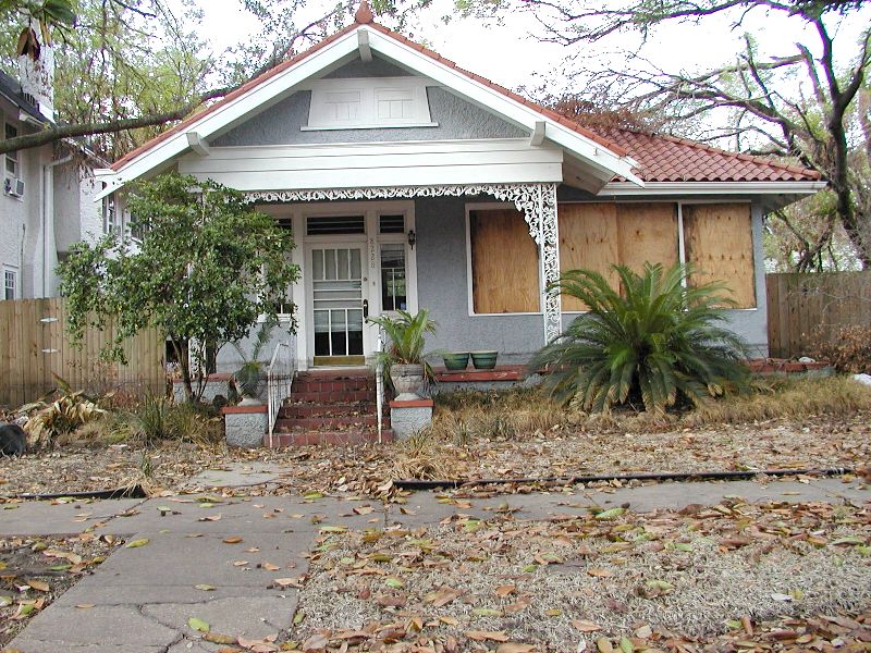
| 437 Huntlee Dr. 70131 |
|
| 437 Huntlee Dr. 70131 |
|
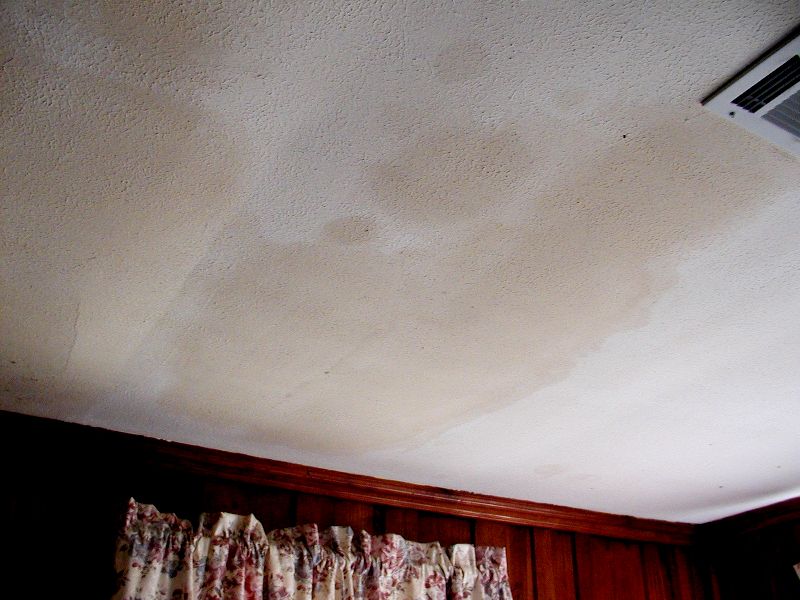
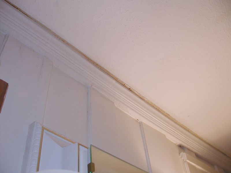
| 437 Huntlee Dr. 70131. Notice the room was painted before the storm and it has moved as indicated by the lack of paint in that little strip on the ceiling. |
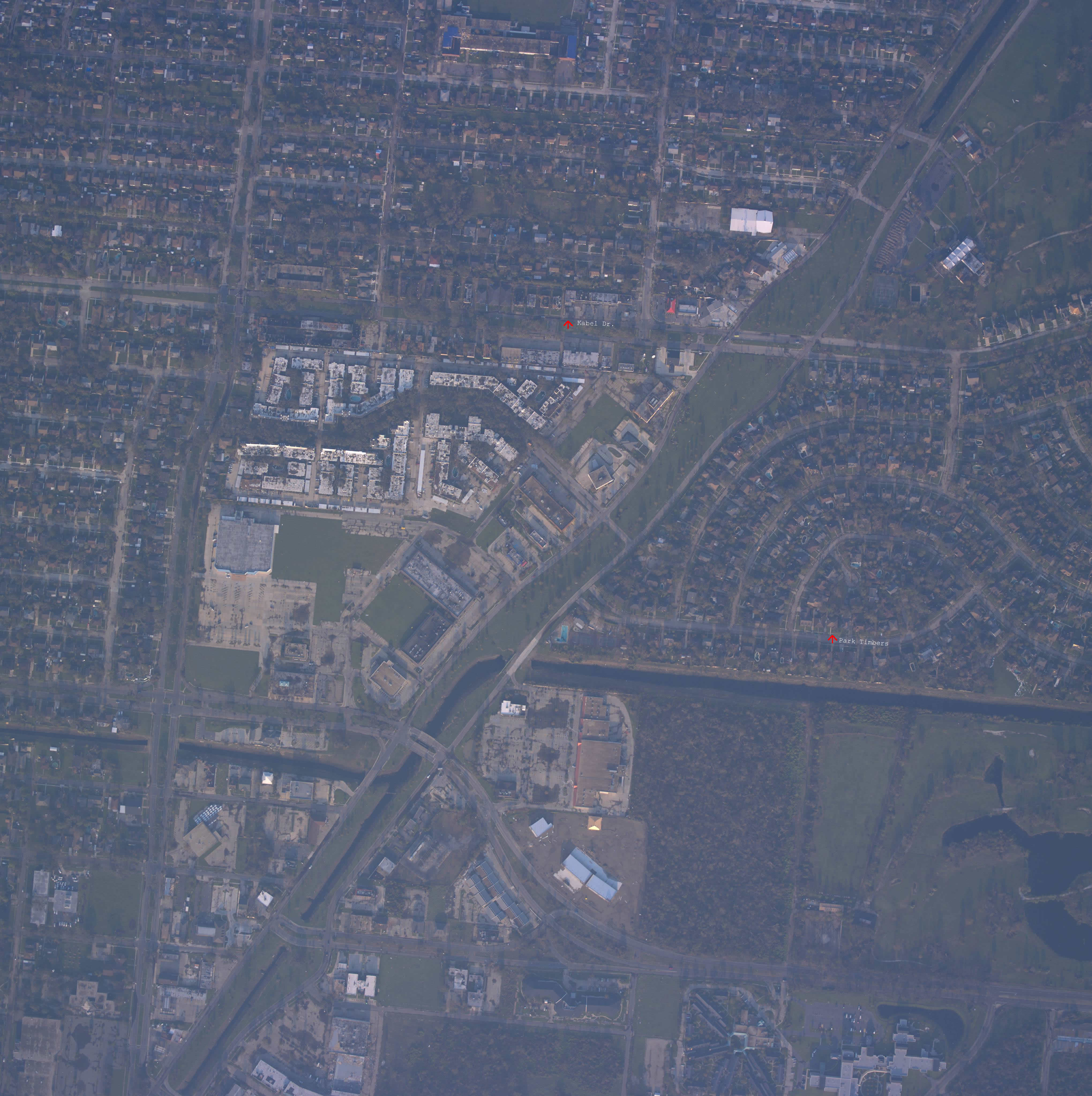
| These links are satelite links but since the pictures are very large (1mb) you have to click them to load them. Huntlee-Somerset link and Park Timbers-Kabel link. There are white arrows with writing for all our houses on them. |