|
Katrina August 29, 2005
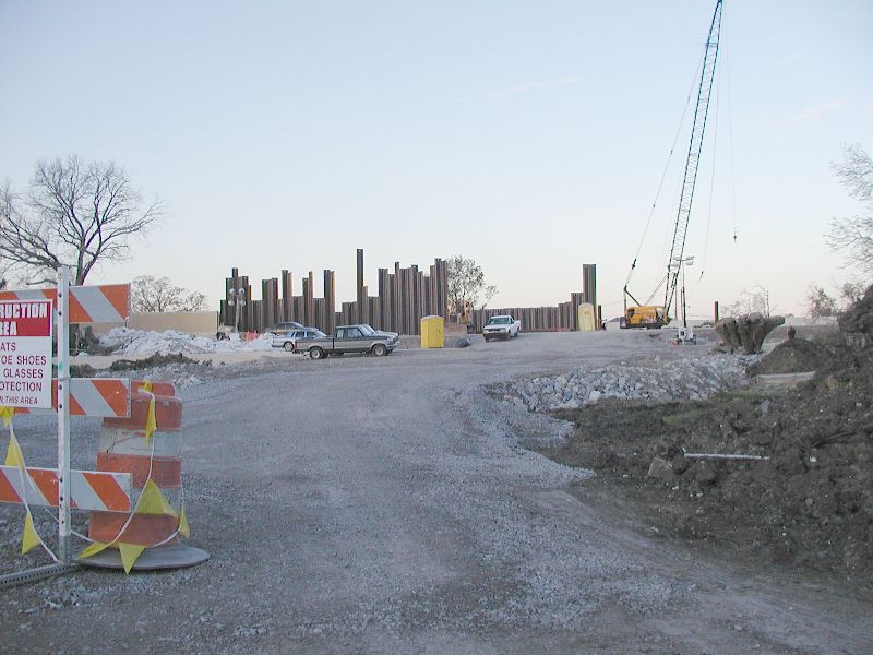
17th Street Canal Break
|
| This is the famed 17th Street canal
break. The metal posts are the sheet piling the news talks about that was
driven into the peat which did not hold up to the storm surge from Lake
Pontchatrain. |
|
|
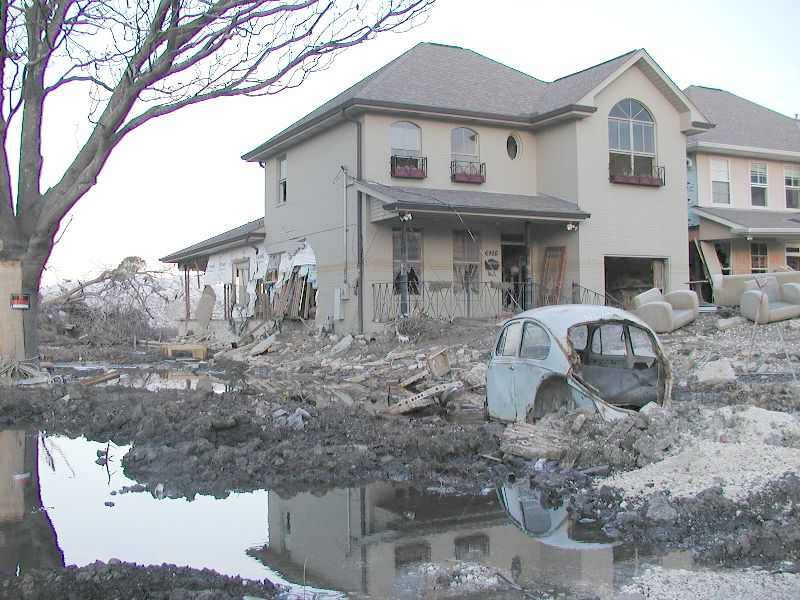
| This house was on the lake side
of the break. As you can see, there is still water seeping through and pooling
on Nov. 19, 2005 more than 2 and a half months after Katrina hit. |
|
|
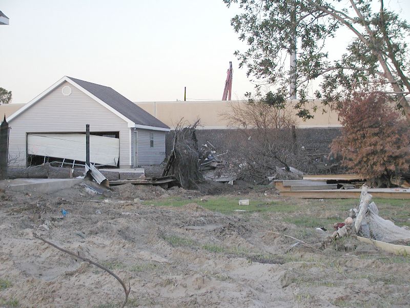
| This house was a couple of houses
from the actual break. Notice how high the wall is. Yes, there is water
behind it and it is about a foot higher than where the cement wall starts. |
|
|
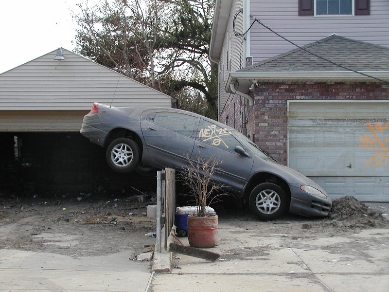
| This car floated here as the flood
came through. As you can see by the water lines, it has stayed here since
the beginning of the flood. |
|
|
| This car did the same thing as the
one above. It was about 20 blocks from the break on Bellaire Dr. |
|
|
| This blue house floated off its
foundation when the wall broke. It was only stopped by (see next picture). |
|
|
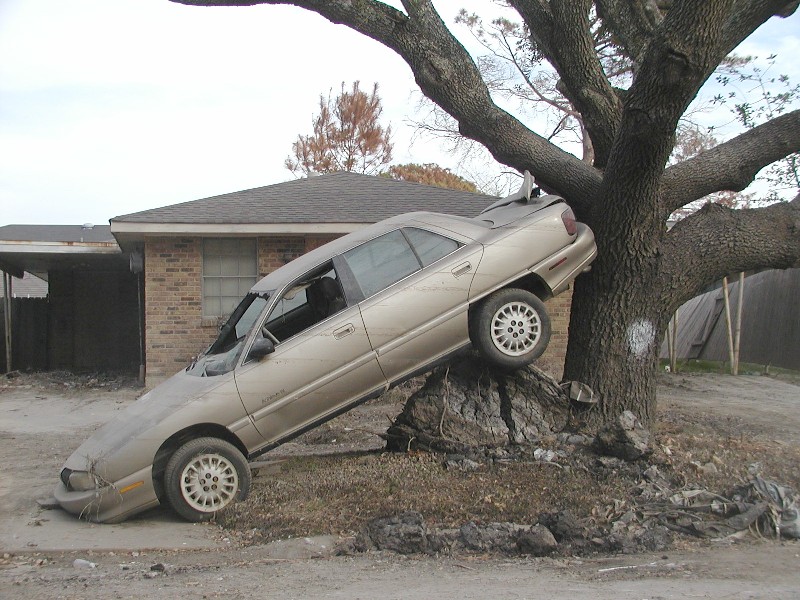
| This tree was the only thing that
stopped the house from floating down the street. It looks like what would
happen to a car if it hit a tree. It just wrapped itself around it. |
|
|
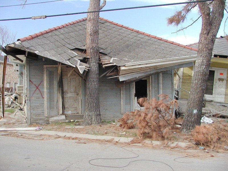
| The small rectangle is what the
search and rescue teams cut in the roofs of houses where they suspected
people were trapped. |
|
|
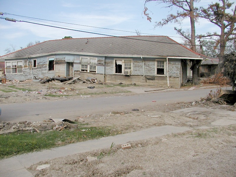
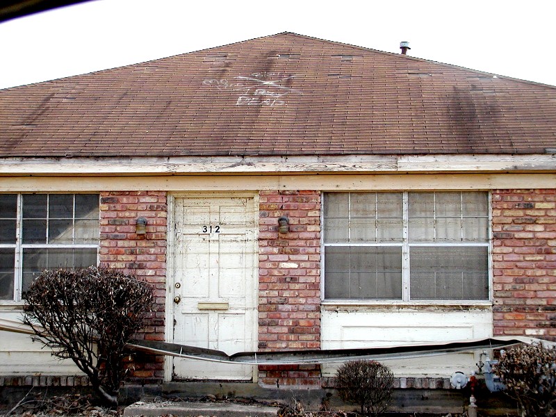
| This house had a small rectangle
cut in the side but all they found was one dead body. Again, they were on
a search and rescue mission, not body recovery. The body was left here for
later so they could pick up more survivors. This house was over near Fleur
de Lis about 12 or so blocks from the 17th Street canal break (312 18th
St.). The water line is half way up the white board just under the roof.
There would have been no air in the attic and VERY hot. |
|
|
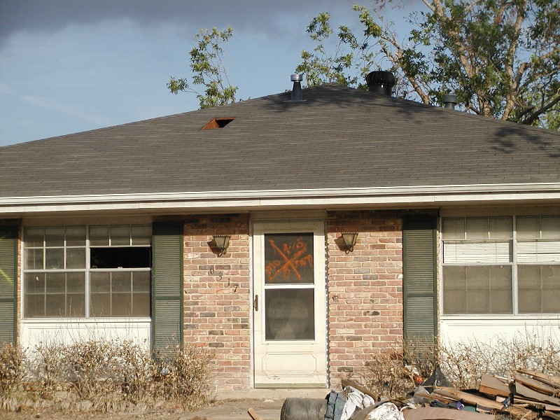
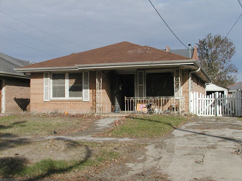
231 20th Street.
This house is 12 blocks from the 17th street Canal break. There was 15 feet
of water in the house and the house is already 3 feet above the street.
It undercut the slab and since the water was so high, the house will have
to be destroyed. They will rebuild. |
|
|