|
Katrina August 29, 2005
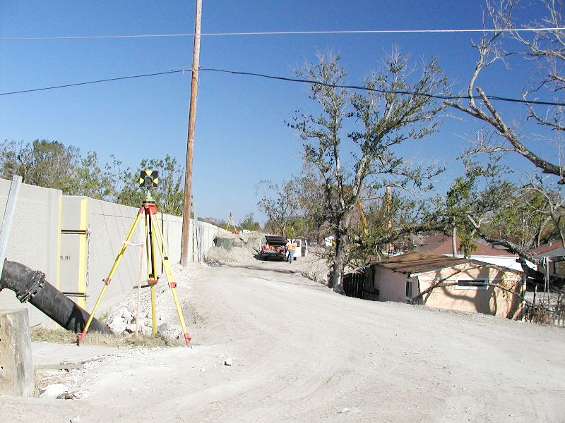
Mirabeau Ave Canal Break
|
| Notice the height of the wall and
the height of the rooftops. |
|
|
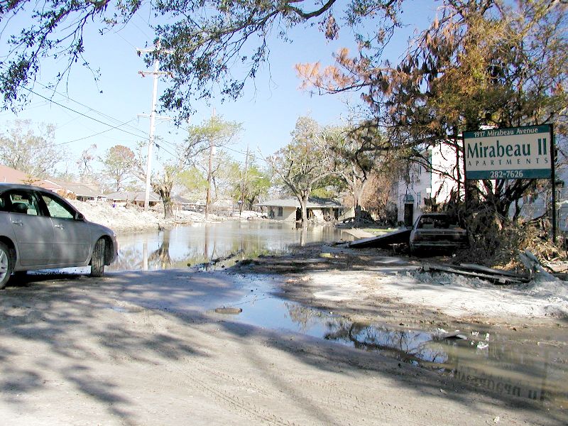
| This house was across the street.
The water is still seeping and it is still very wet and deep even on 11-21-05
(2 and a half months after the storm). |
|
|
| |
|
|
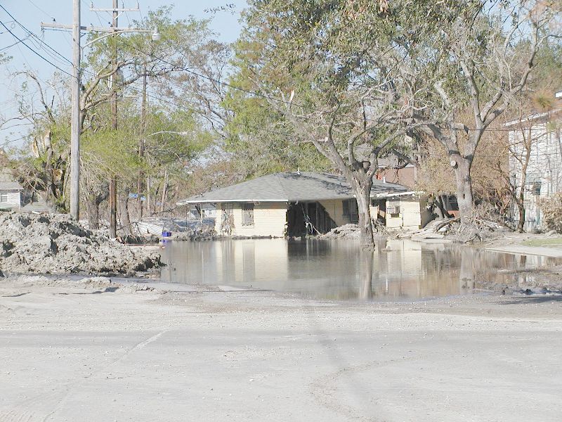
| The silt is everywhere and it is
almost a foot deep even blocks away from the break. |
|
|
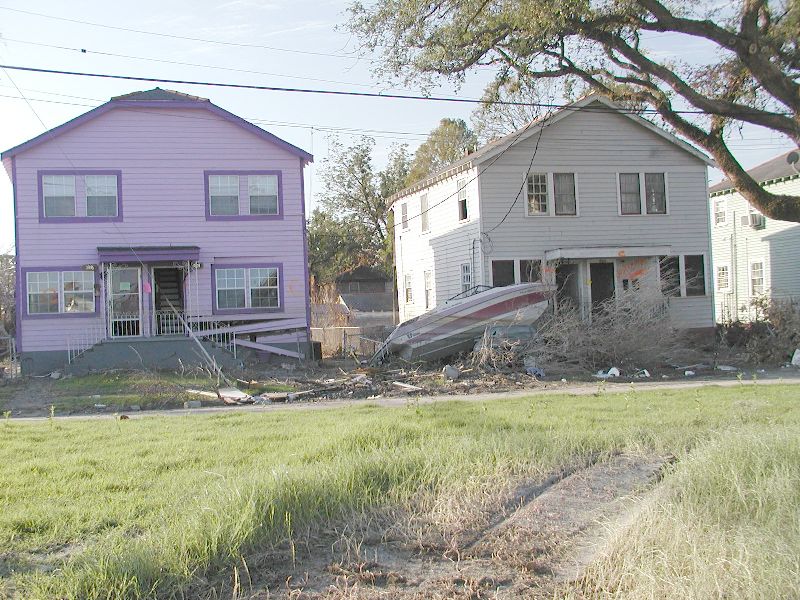
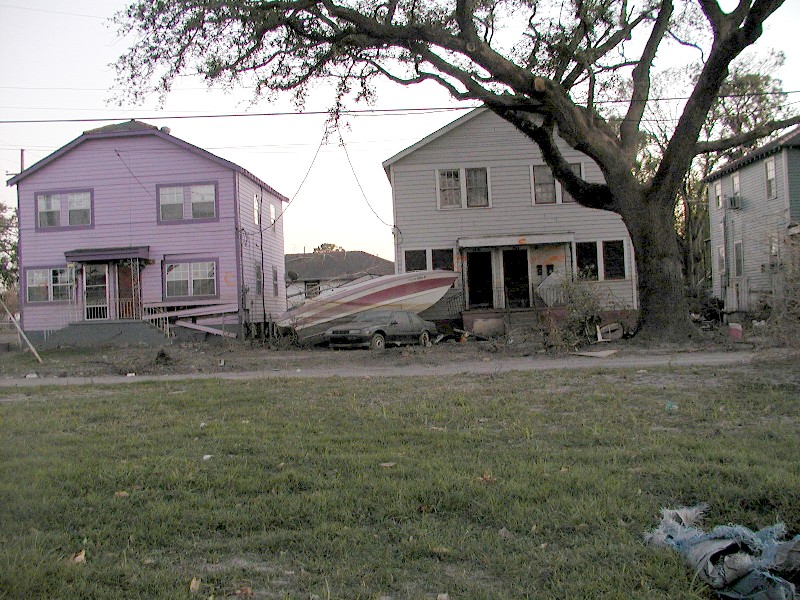
| This boat floated here and stayed
while the water stayed. When the water went down, its final resting place
was on to of the car. |
|
|
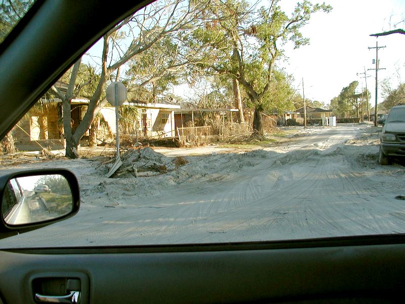
| I passed this spot every
day and it is a favorite because of the purple house. |
|
|
| This church was over on Elisyan
Fields. there was one dead body found in the back as per the red spray paint
on the wall. The writing was that high because they arrived there by boat
and that is what they could reach. The orange writing was done 9-14-05.
The yellow writing 9-16-05. The red has no date but it was after 9-16-05
because that has an X over it. At that time, they were still on search and
rescue missions and not body recovery. The body was left for later because
there were still live people to rescue. It looked like the water line came
almost up to the roof. Imagine what temperature the attic would be if you
were there with no ventilation. There was even less attic ventilation because
the water in many areas covered all the vents in the soffits. My attic regularly
gets over 130F with ventilation. The outside temperature was 90F-95F so
the attics must have been 130F at the coolest. |
|
|
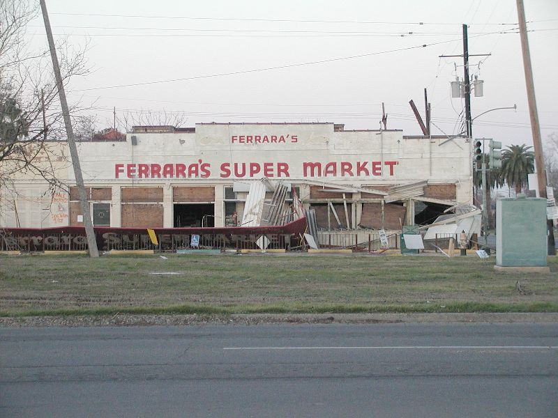
Everyone
knows this is on the corner of Robert E. Lee and Elysian Fields, 3 blocks
from UNO. Its proper address is 6166 Elysian Fields Ave, New Orleans, LA
70122. The picture was taken on 9-10-05, about 12 days after Katrina. The
picture came from: http://www.wwltv.com/s/dws/photography/2005/katrina0910_1/
with the following name under the picture: Smiley N. Pool/DMN |
|
|
|
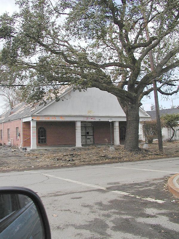
This was taken on the 5th of January
2006, 4 months after Katrina.
One orange X says they picked up a dog here 9-28-05.
|
|
|
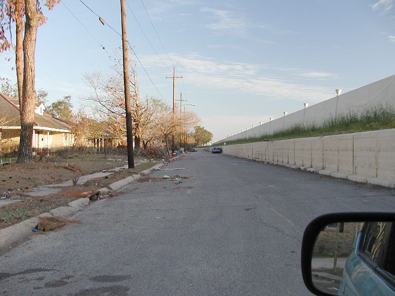
| Notice how high those cement walls
are in relation to the houses on the left. The water is just on the other
side of the walls and it normally gets to about half the height of the cement.
The top of those walls is about 20 or 30 feet from where I am in my car.
This canal wall held up during both storms. It is near the corner of Robert
E. Lee and Orleans Ave. |
|
|
| |
| |