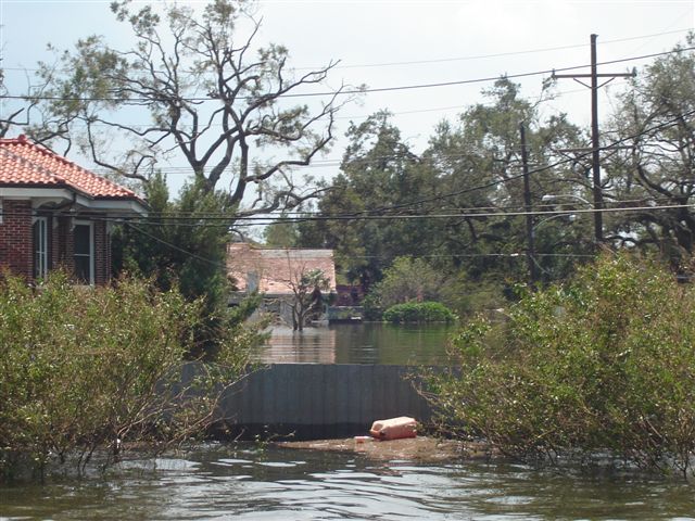
Lakeview
flood pictures
Wish I knew who took them or even who the guys are in the boats.
Pictures get sent around and no one knows who the originator of the email
was.
Canal
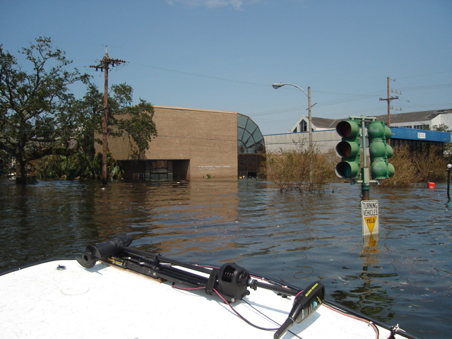
Blvd and I-10 looking North toward the lake.
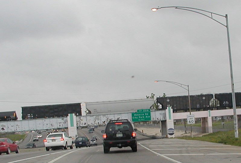
The Metairie,
City Park railroad bridge on I-10.
It is commonly known as The Dip or the Mounds Street Railroad bridge.
It is commonly known as The Dip or the Mounds Street Railroad bridge.
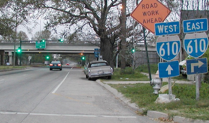
Right
by the on-ramp to I-10 by Canal Blvd.

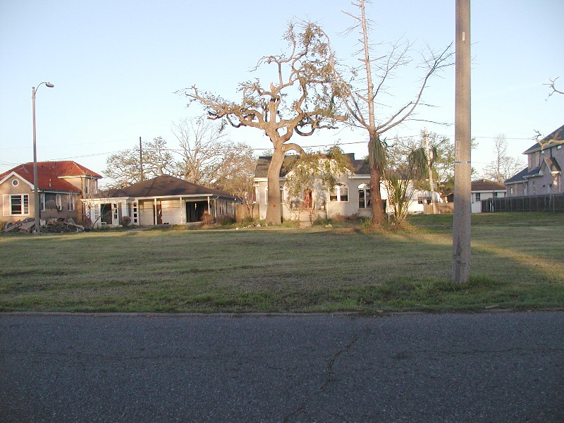
Adam St.
and Florida Blvd.
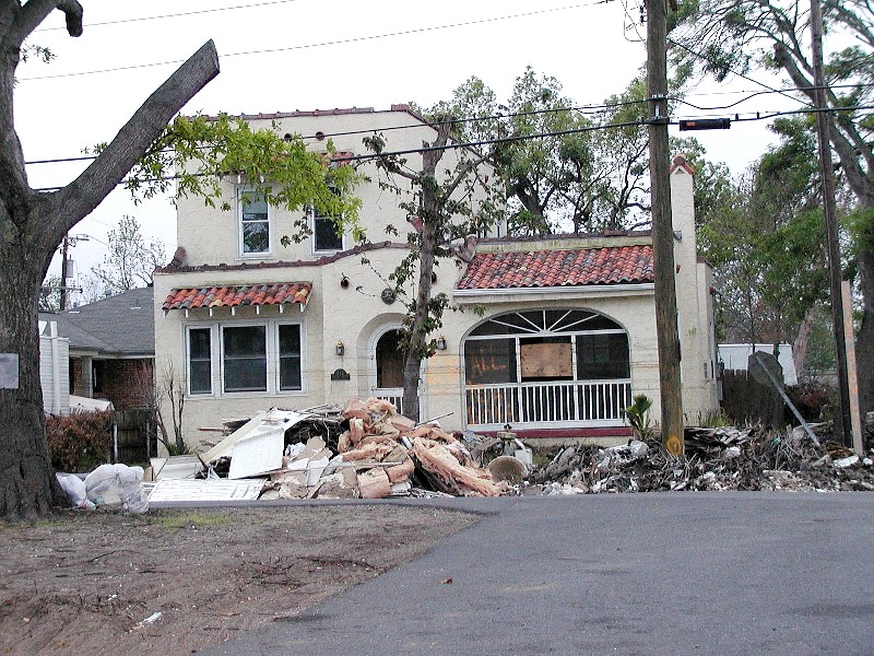
This
view is straight down Canal Blvd. under the I-10 overpass, toward Downtown
New Orleans. Notice how the trees arch over the street. The brackish flood
waters killed a lot of the trees or they fell over from sitting in water
for a month.

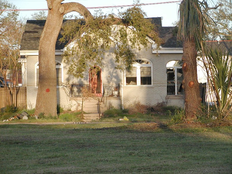
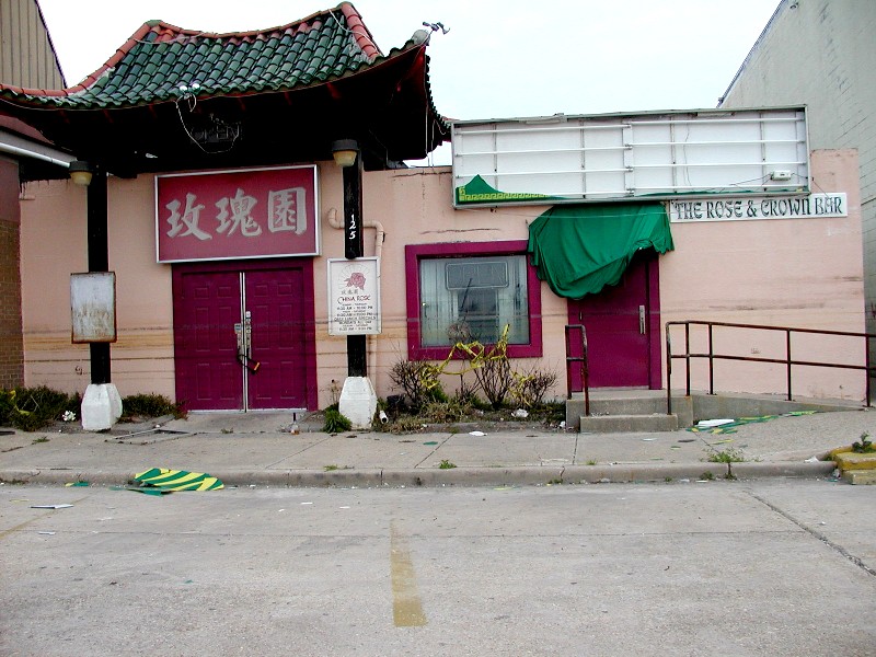
This
is on the corner of Robert E. Lee Drive which is about 6 blocks from Lake
Pontchatrain. A corner grocery and a bank is just behind the camera to
the right.
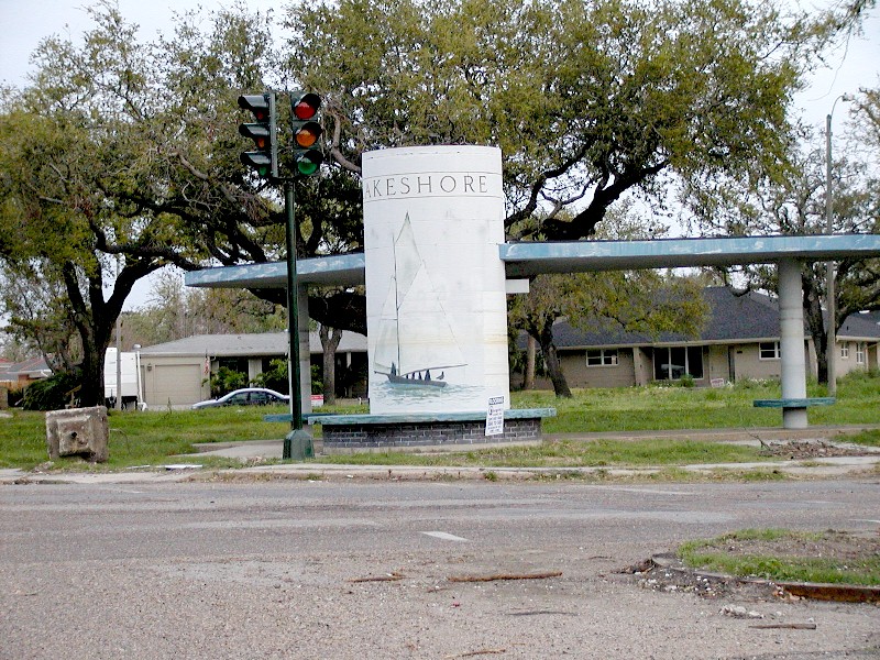
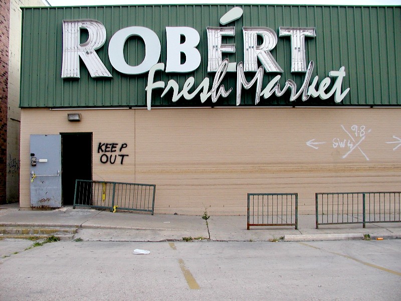
West
End Blvd and Robert E. Lee Drive is about 3 blocks from the lake. We used
to go to this theater for really nice movies. Robe'rts was a favorite
grocery to stop at on the way home and the China Rose restaurant was a personal
favorite.

Library
on the corner of Harrison Ave. and Canal Blvd. A church and school is
behind the camera on the right.
This
page will change slightly when the exact locations are known.
| Evacuation
Wanderings |
Levee
Breaks |
Levees
and Breaks |
Flooded
Houses |
UNO, Ursuline, and relatives houses. |
Driving Around |
Do/don't like the site? Email me and tell me about it. |
|||||
| Cleaning up and some fun pictures. | |||||
| Christmas around town | |||||
| Link copied from southbear.com which describes very well why the flood was so bad. | |||||
| JEMS - Excellent description of what went on from EMS' point of view.. | |||||
| UNO pictures | |||||
| The islands (Dauphin and Chandeleur) that protect our coastline an southern cities. | |||||
| Miscelaneous satellite pictures. | |||||
| More Katrina pictures from WWLTV.com | |||||
| More pictures found on the web. | |||||
| Lakeview pictures during the flood mailed to me 3-3-06 | |||||
| Lakeview Revisited - Pictures 7 months after Katrina taken in March 2006 | |||||
| The surge out at Michoud from WWLTV.com | |||||
| Doug's fly over pictures of Katrina's damage on our swamps and southernmost towns. March 2006 | |||||
| Back to the main Katrina map page | |||||