Doug Lynne's pictures
Taken from a plane on 3-11-06
Taken from a plane on 3-11-06


| Evacuation
Wanderings |
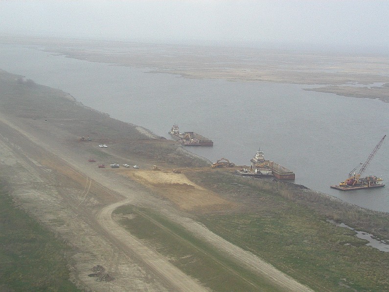
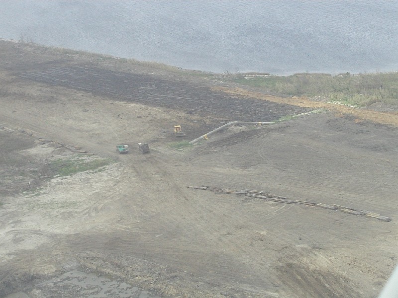
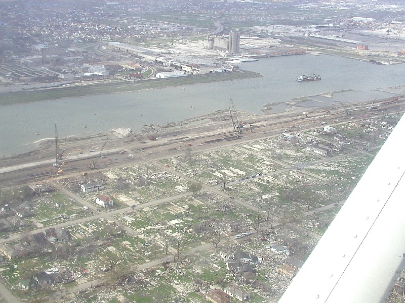
Levee
Breaks |
Levees
and Breaks |
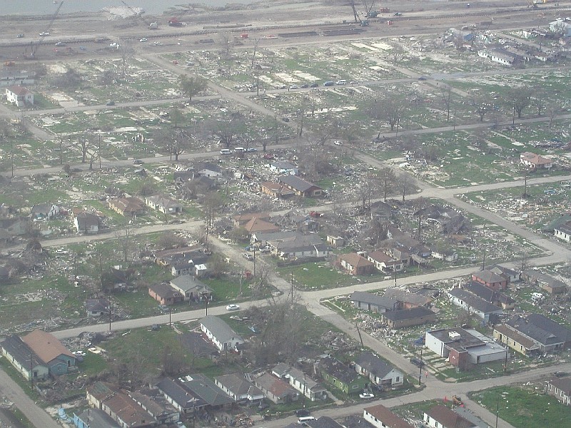
Flooded
Houses |
UNO, Ursuline, and relatives houses. |
Driving Around |
Do/don't like the site? Email me and tell me about it. |
|||||
| Cleaning up and some fun pictures. | |||||
| Christmas around town | |||||
| Link copied from southbear.com which describes very well why the flood was so bad. | |||||
| JEMS - Excellent description of what went on from EMS' point of view.. | |||||
| UNO pictures | |||||
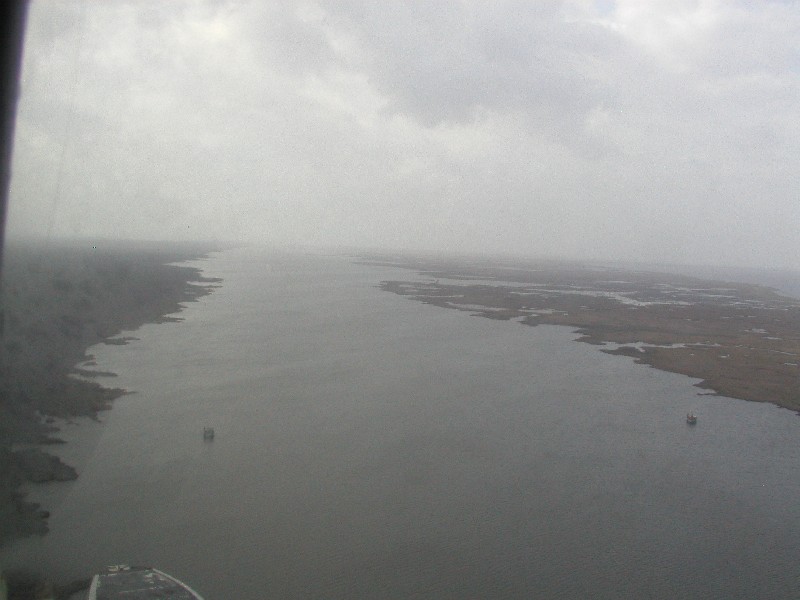
| The islands (Dauphin and Chandeleur) that protect our coastline an southern cities. | |||||
| Miscelaneous satellite pictures. | |||||
| More Katrina pictures from WWLTV.com | |||||
| More pictures found on the web. | |||||
| Lakeview pictures during the flood mailed to me 3-3-06 | |||||
| Lakeview Revisited - Pictures 7 months after Katrina taken in March 2006 | |||||
| The surge out at Michoud from WWLTV.com | |||||
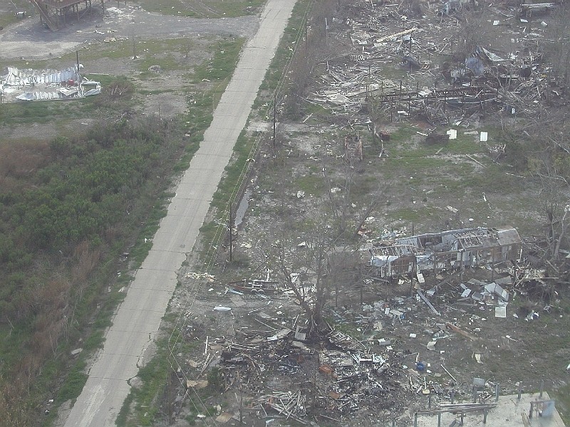
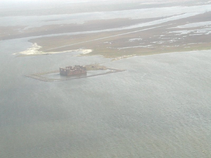
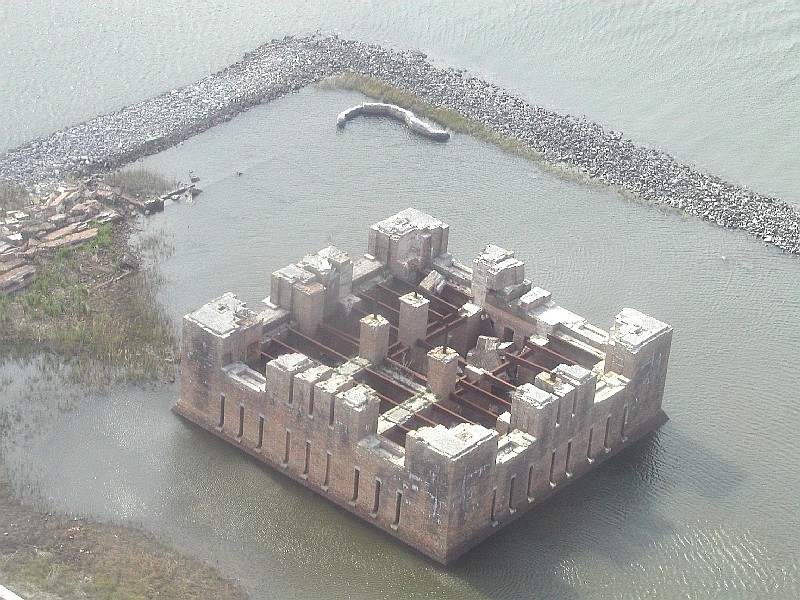
| Doug's fly over pictures of Katrina's damage on our swamps and southernmost towns. March 2006 | |||||
| Back to the main Katrina map page | |||||