Late December 2005
Industrial Canal Breaks, Lower 9th Ward, and St. Bernard Parish
Page 2 of 2
Industrial Canal Breaks, Lower 9th Ward, and St. Bernard Parish
Page 2 of 2

|
Late December 2005
Industrial Canal Breaks, Lower 9th Ward, and St. Bernard Parish Page 2 of 2 |
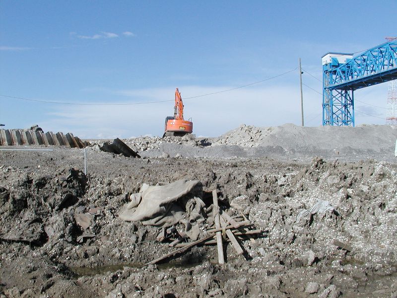
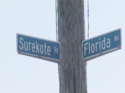
| This break is right by the Florida Ave. Bridge. it was a smaller break but did quite a bit of damage. |
|
|
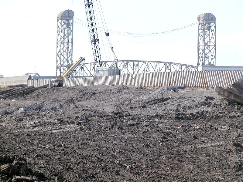
| Another picture of the break by Florida Ave. |
|
|
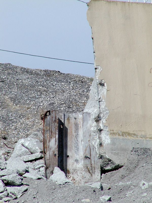
| Notice the sheet piling at the bottom edge of this broken piece of cement wall. |
|
|
| Close-up view of sheet pilings. Note how little of the piling is in the cement wall. |
|
|
|
|
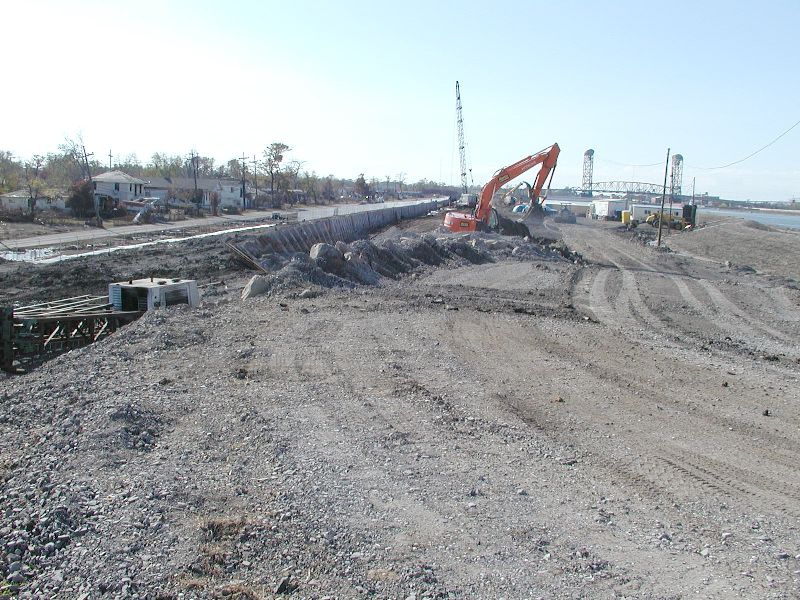
| The North Claiborne Bridge is right at the edge of this break. |
|
|
| Part of the right side of the break closest to the North Claiborne Bridge with large pieces of sheet piling falling out of the cement. |
|
|
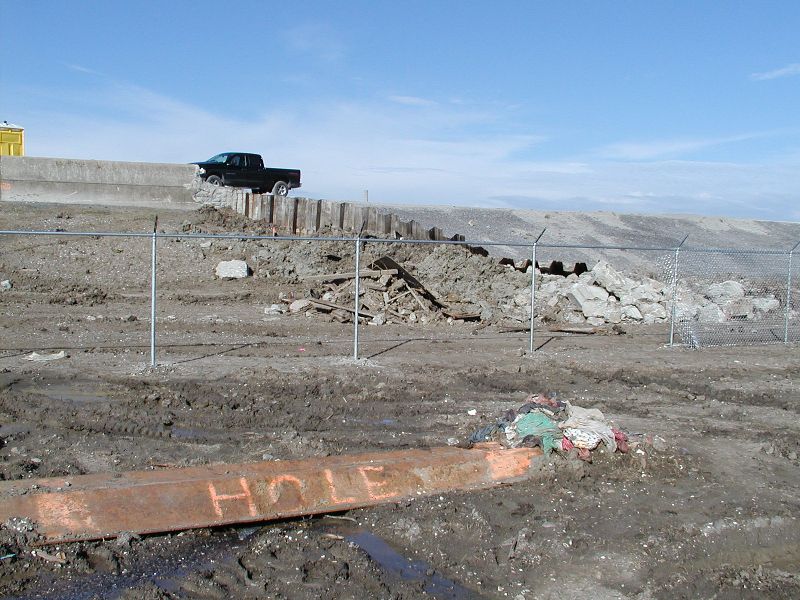
| This is the left side of the break closest to the North Claiborne Bridge. Note the sheet piling with the orange note "HOLE" on it. It must have come from inside the break. There were lots of these metal pieces of piling. They didn't look very long. This one was not broken and looked to be 10-15 feet long. |
|
|
|
|
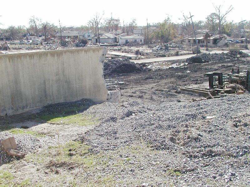
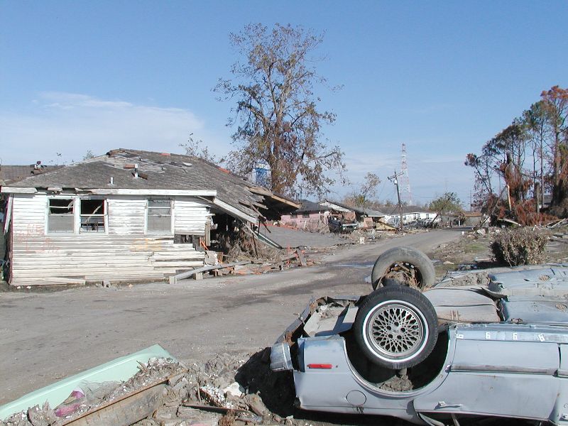
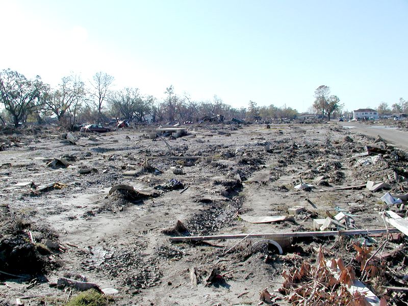
| Shot of about 1/4th of the total devistation from the Industrial Canal breaks. There is about a 12x12 block area that looks like this and another set of blocks on the outside of this with houses that will be bull dozed. |
|
|
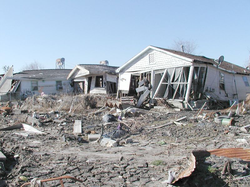
| Most streets had been bull dozed but this one was not done yet. These houses moved off their foundations but not into the street in front of them. Note the cracked mud. |
| |
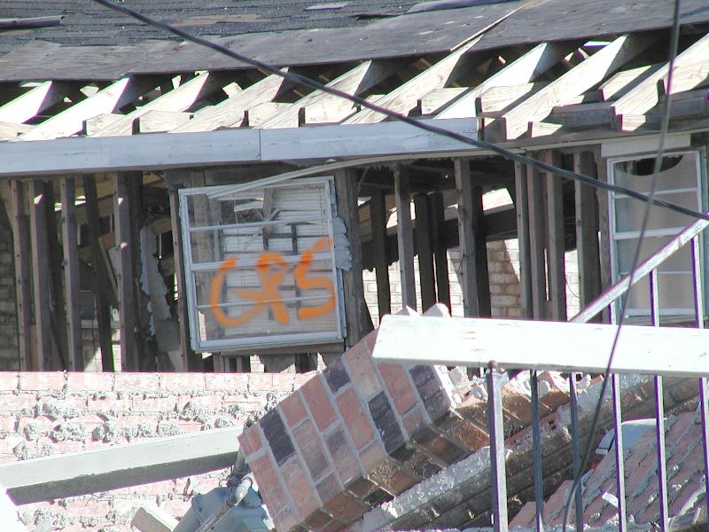
| When houses moved from their foundations in this area, an orange GPS was put on them. |
|
|
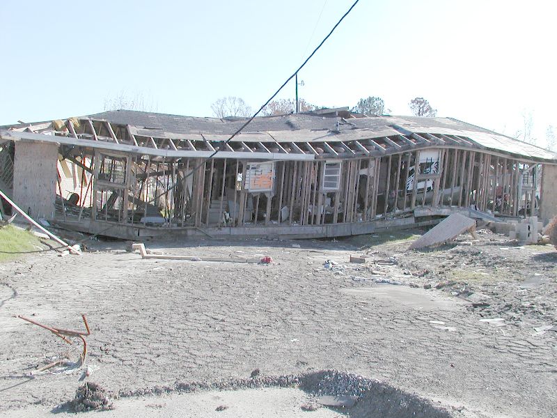
| That was a close up of the following house. It landed across the street. It stretches all the way across the street to the other side. |
|
|