Katrina August 29, 2005
London Avenue Canal Break
London Avenue Canal Break

|
Katrina August 29, 2005
London Avenue Canal Break |
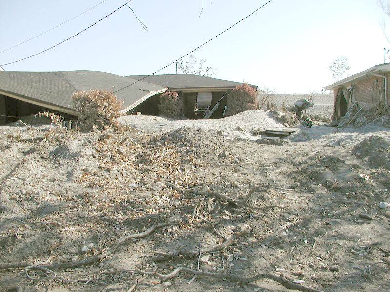
| This is the area around the London Avenue canal break. The break is right behind these houses. Notice the quantity of silt around the houses and how high the wall was before the break. The water lines are not the highest the water rose. The lines only tell that the water stayed at those levels for many many days. It was weeks before the water was down enough for trucks to pass. |
|
|
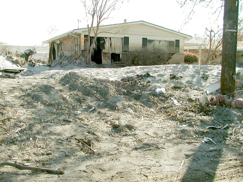
| The dirt behind the house below is the repaired levee. It is not as high as the one that broke and it is all dirt and rocks. There is still water seeping through the repair more than 2 months later. |
|
|
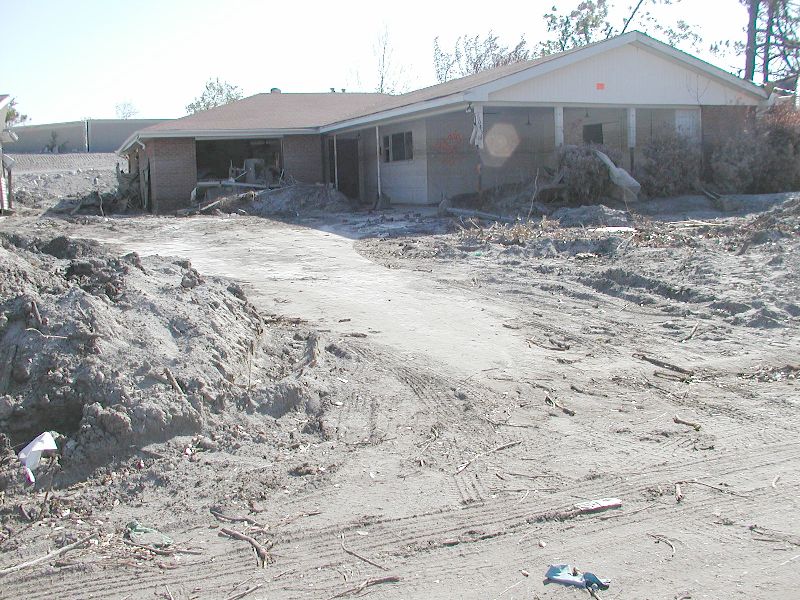
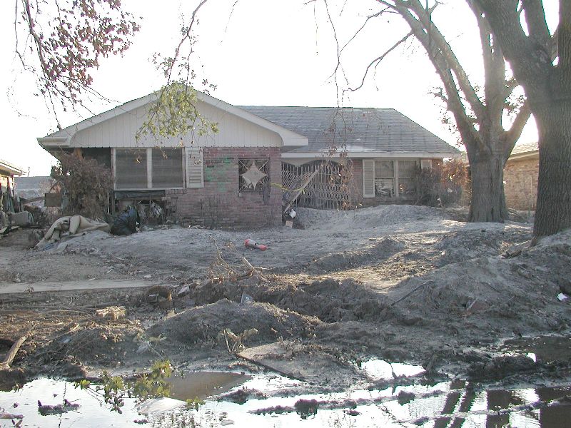
| Behind this house is what remains of the old levee wall. Notice how high it was and that the water has damaged it. The orange sticker on this house says it is condemned and unsafe even to enter. It must be torn down. |
|
|
|
|
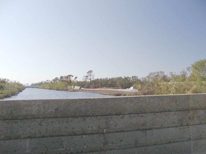
| They are still repairing the break 2 months after Katrina. Notice how high the water normally is. There are 2 people standing on top of the repair. The cement walls on the other side of the canal are leaning because of the water pressure during the storm. |
|
|
|
|
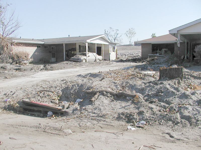
| This house on the left is almost totally covered in silt and mud. These will both probably have to be torn down. |
|
|
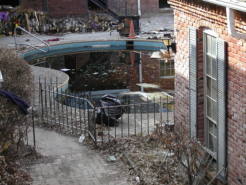
| Swimming pools were black and smelly when we returned. Some had aligators or snakes living in them. They definately had voracious and very hungry mosquitoes in there.The only way to clean them is to empty them and refill them. They had to be careful because an empty pool will float up out of the ground in our city. Shocking them did not always work. Anyway, who would want to swim in water that had been that bad? |
|
|
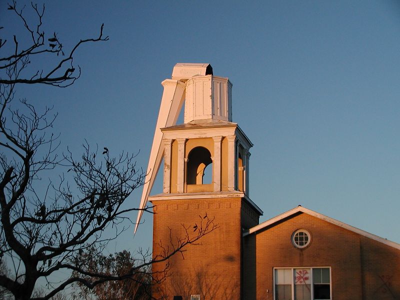
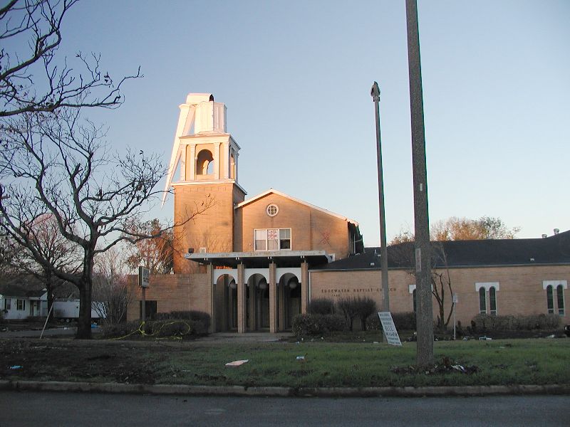
| The churches took an especially hard hit but even though their buildings were unusable, many were not only having services, they were handing out food to people as they were cleaning up. This church had too much water and may not re-open. |
|
|
| The highest water line I could see was just below the roof which is why the two red Xs are so high. Remember, the storm hit on August 29 and these Xs were written September 12, two weeks after that. Imagine the water being that high, even 2 weeks after the storm. This church is more than 6 blocks from the break pictured above. As of the end of December, there is still very little power and no gas service in this area. There is water and they say it is drinkable. |
|
|