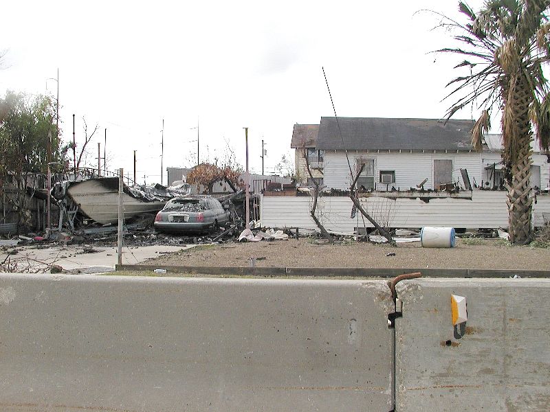
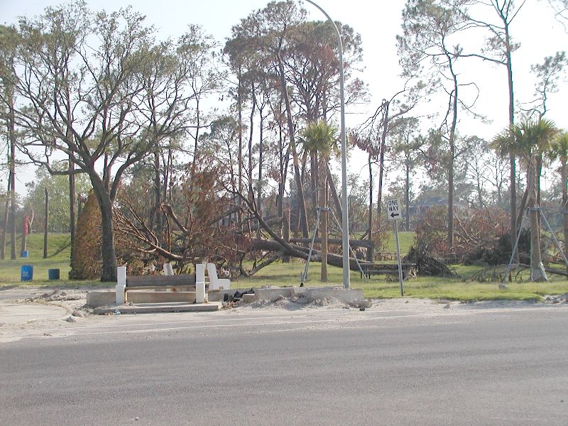
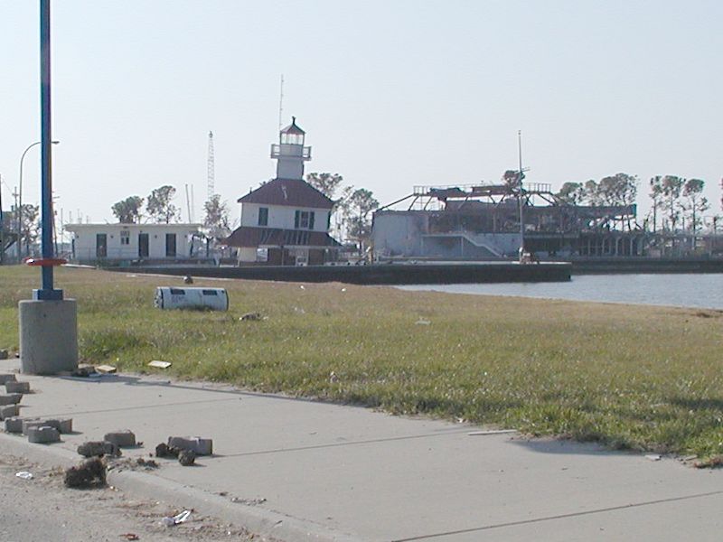
Katrina August 29, 2005
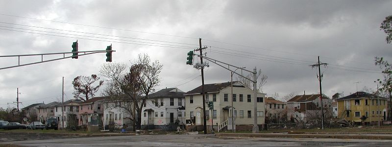
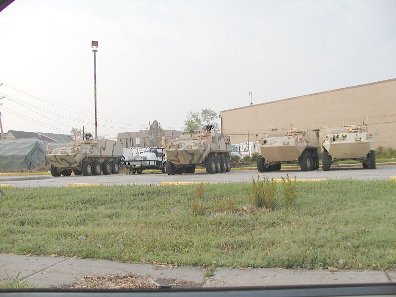
Views from the car while driving around both
the East and West Bank of New Orleans.
Views from the car while driving around both
the East and West Bank of New Orleans.
 |
 |

 |
 |
|
Katrina August 29, 2005
Views from the car while driving around both the East and West Bank of New Orleans. |
||
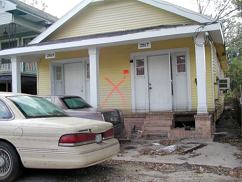
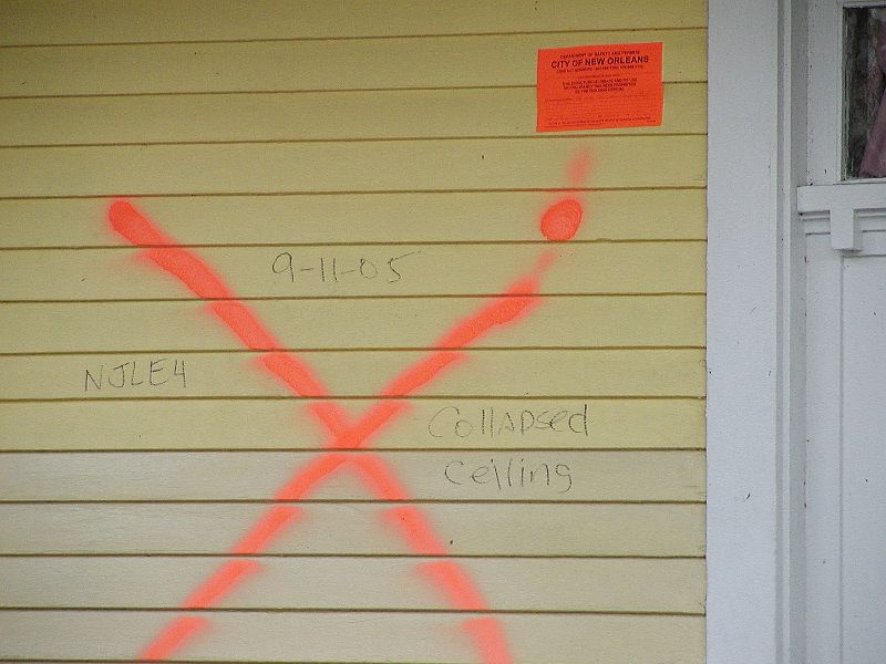
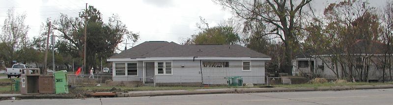
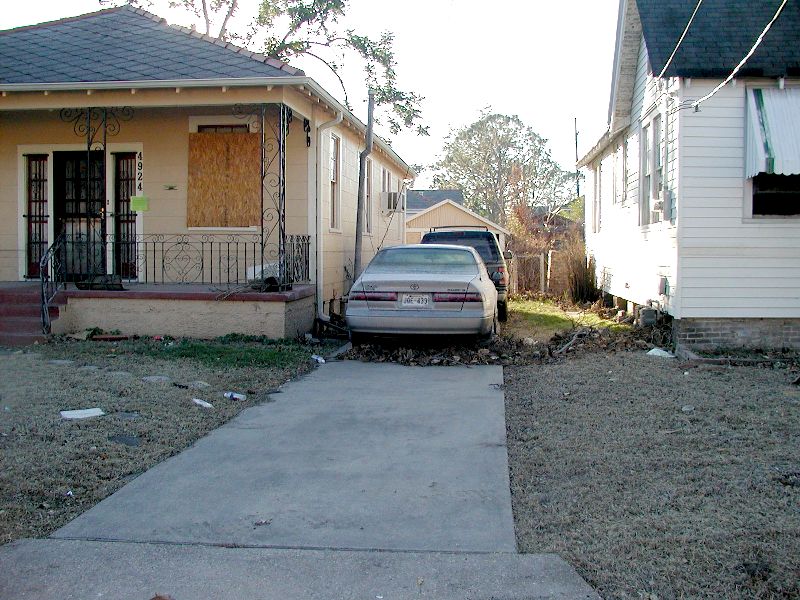
| A condemmed house near Carrolton Avenue. The ceiling had fallen and the house was moved off of its piers either by the flood or wind. | ||
|
|
||
| The engineers of the city put these red/orange stickers on the houses when they were not safe to enter and to be taken down. | ||
|
|
||
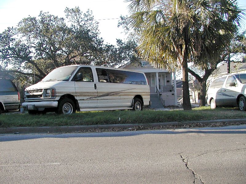
| Some people put their cars on the neutral ground in hopes they would be spared any flood waters. | ||
|
|
||
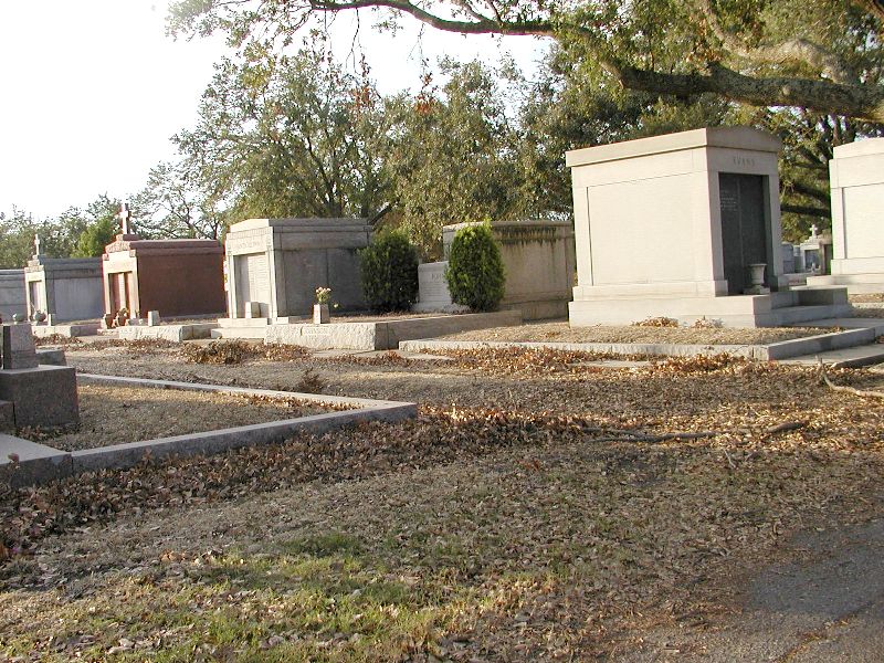
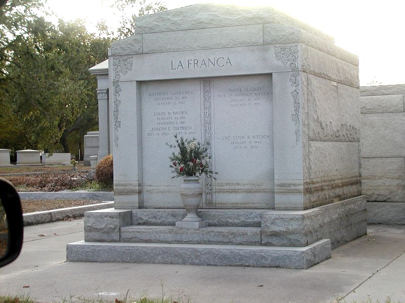
| The cemeteries also took on water. | ||
|
|
||
| A tomb which had about 3 feet of water around it. | ||
|
|
||
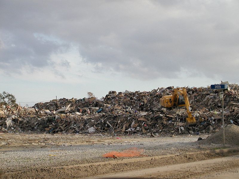
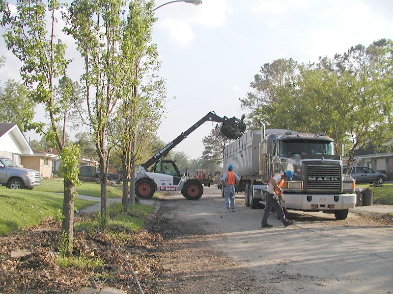
| The pile of trash out by Lakeview. That is a huge crane. | ||
|
|
||
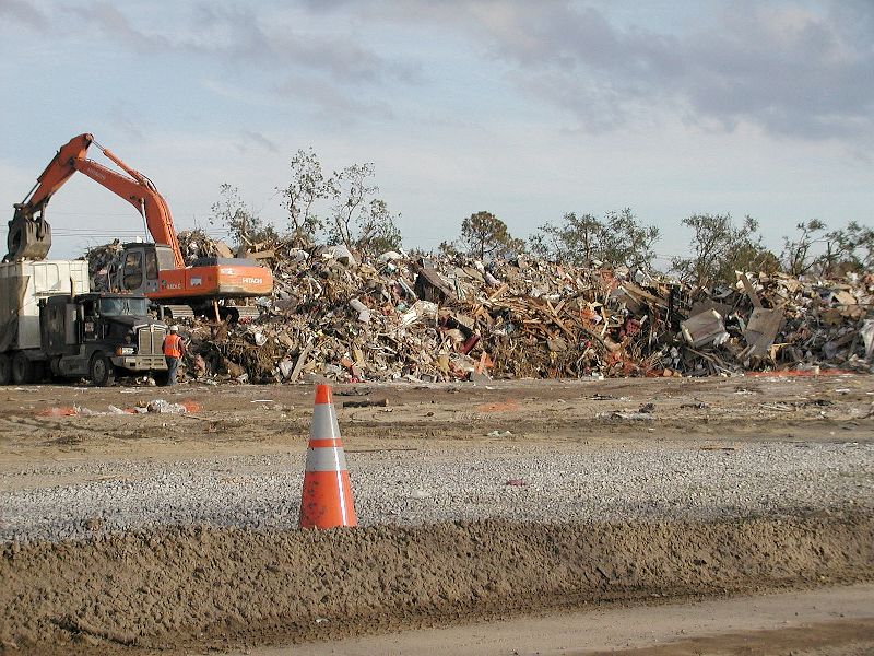
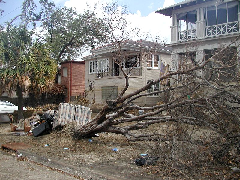
| A smaller pile of trash which grew immeasurably in the weeks following this picture. | ||
|
|
||
|
||
|
|
||
|
|
||
|
|
||
|
|
||
|
|
||
|
|
||
|
|
||
|
|
||
|
|
||
|
|
||
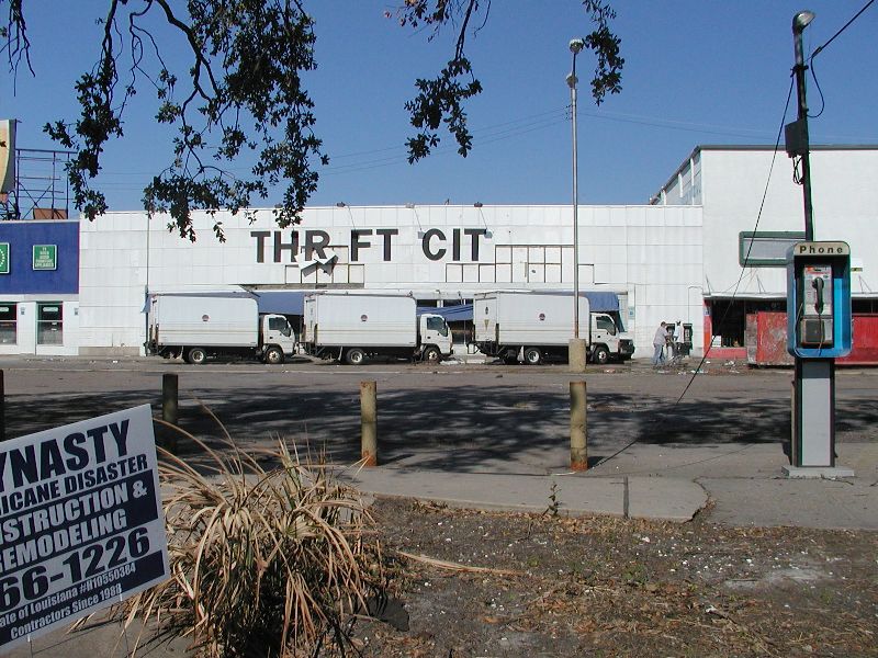
| Look at the water line on those three trucks. They haven't moved since the storm. | ||
|
|
||
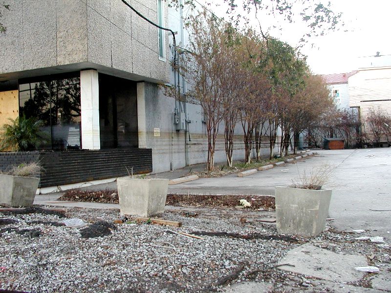
| This next picture is just before Carrolton Ave. and Canal St. Each of those lines is where the water stayed for a time. The water lines are getting more vivid as time goes on. The iron in the lines are rusting more and the black grease in the lines are gathering more dirt, dust, and grime from the air. | ||
|
|
||
|
|
||
|
|
||
|
|
||
|
|
||
|
||
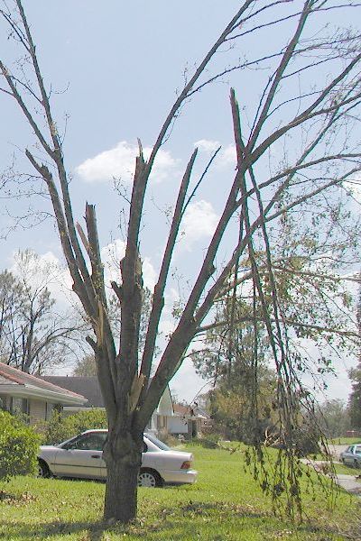
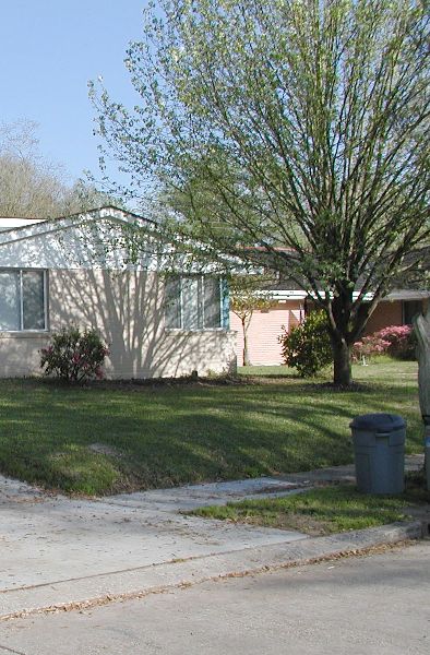
| Before and after of the tree in my front yard. Most of the branches left are twisted and split so as soon as the tree goes dormant and loses it leaves, it will be trimmed severely. It was a 40 or 50 foot tree. It will be about a 10 foot tree after it is properly trimmed to remove the damage. | ||
|
||
| The before and after of the tree in my front yard. |