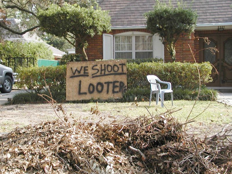
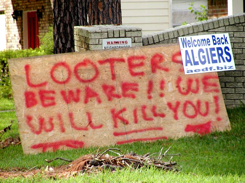
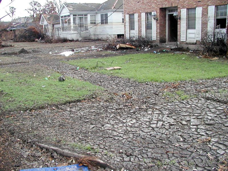
|
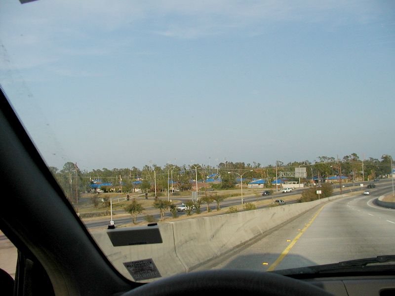
Katrina August 29, 2005
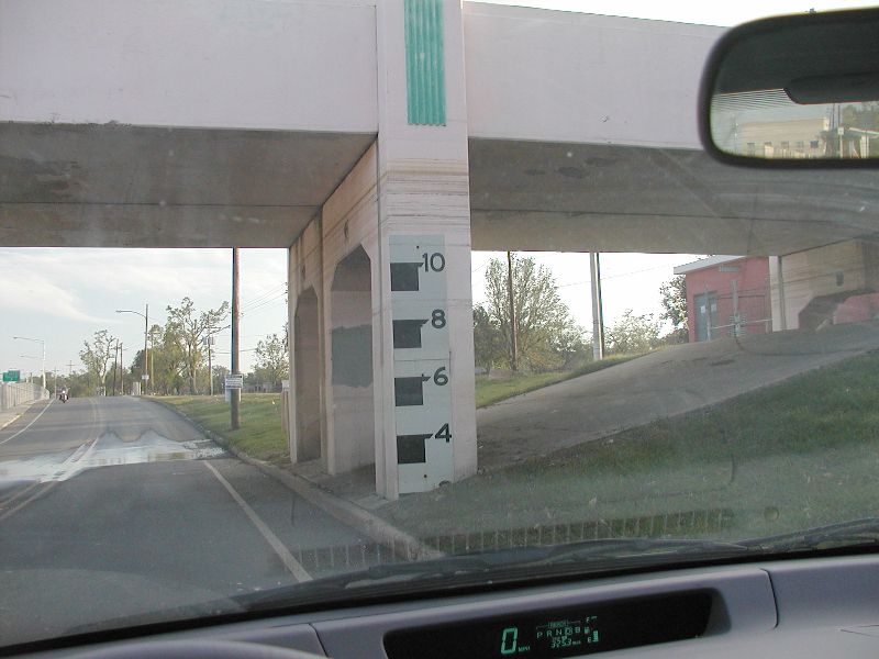
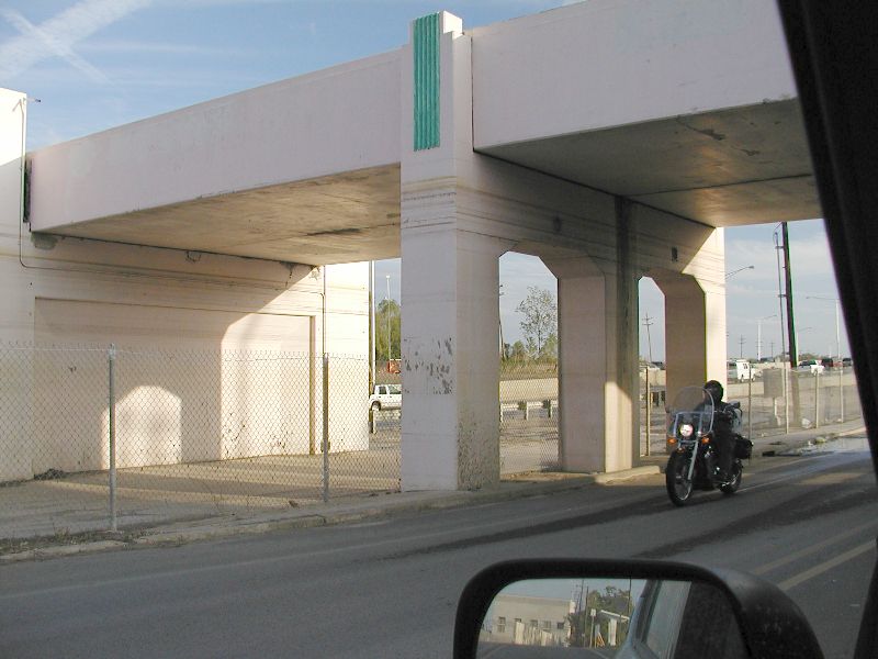
Views from the car while driving around both
the East and West Bank of New Orleans.
|
| |
|
|
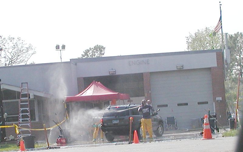
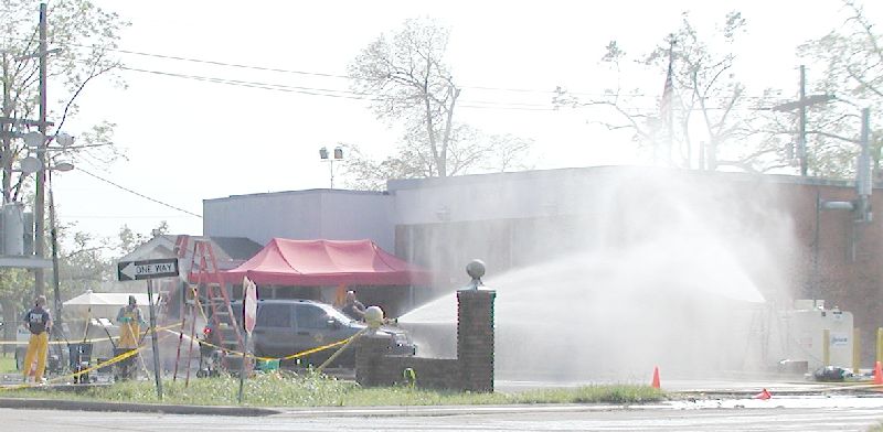
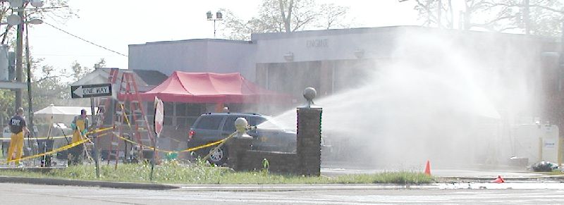
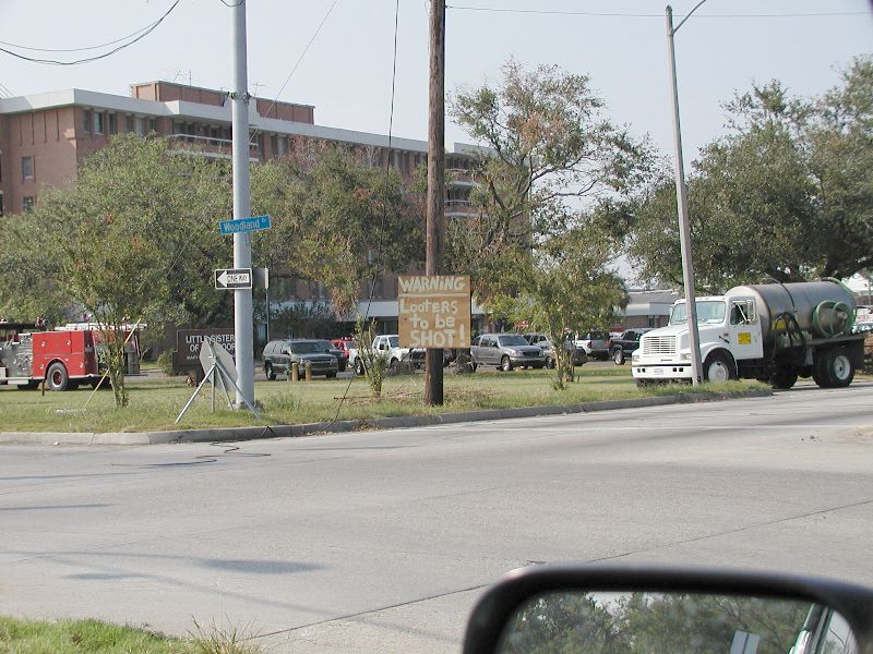
| In the beginning, all
vehicles had to be decontaminated after driving over where it was still
wet. This firehouse on Woodland Hwy on the West Bank hosed and scrubbed
the vehicles from the top to bottom as they came back from duty on the other
side of the river. Fire trucks, ambulances, and others were required to
go through decon before entering their home for the night, as the sign said. |
|
|
| |
|
|
| |
|
|
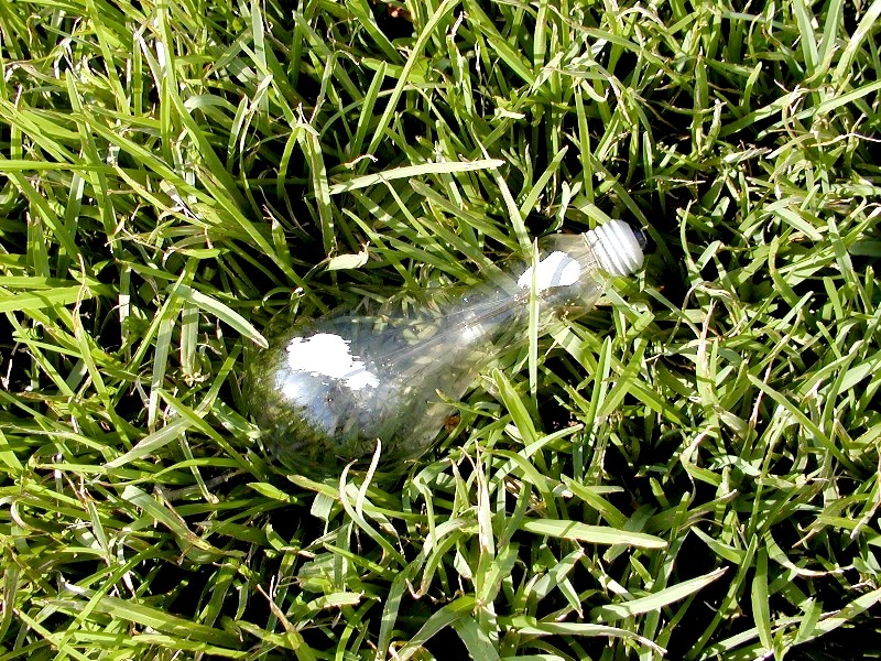
| This unbroken light
bulb was found in the back of Scott's yard on Huntlee Drive in New Orleans
on the West Bank. |
|
|
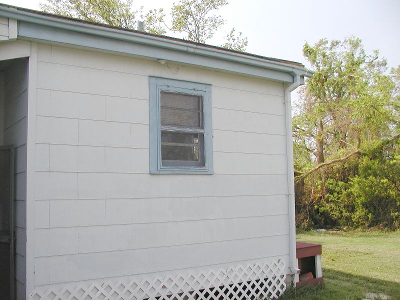
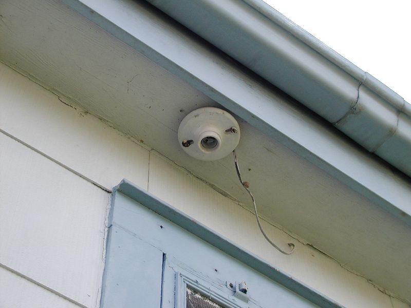
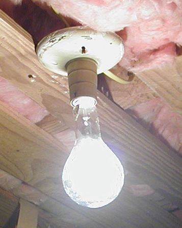
| Before the storm, that same light
bulb was screwed into the following socket. No one knows for sure how it
came unscrewed and landed around the back side of the house in the grass. |
|
|
| |
|
|
| Notice the filament is not broken.
The paint spots are on the right side of the bulb in this picture. |
|
|
|
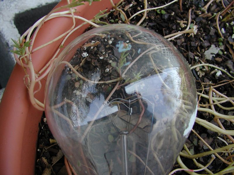
And it still works! Those spots are
paint from when the house was painted ages ago.
We screwed it into a socket
inside the house just to test it.
|
|
|
| |
|
|
| |
|
|
| |
|
|
| |
|
|
| |
|
|
| |
|
|
| |
|
|
| |
|
|
| |
|
|
| |
|
|
| |
|
|
| |
|
|
| |
|
|
| |
|
|
|
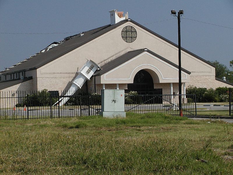
Church on General DeGaulle Drive 70114
|
|
|
| |